• BOOKS ABOUT WILDLIFE AND HEALTH

  • My latest book available in paperback and eBook formats

  • Available from Amazon paperback or Kindle

  • Updated w/double blind study results. Ebook or paperback

  • New updated edition available NOW!

  • Recent Posts

  • Tracking Footprints

  • Archives

  • Top Posts

  • Pages

Wind Rivers: Epicenter of Rocky Mountain Archaeology

Rich Adams, former Wyoming State Archaeologist, is rocking the premises of Rocky Mountain Archaeology with his discoveries in the Wind River Mountains of high-rise villages.  In 2006, an ancient village was discovered at over 10,700 feet on the eastern slopes near Whiskey Mountain in Dubois.    This is only one of two high rise villages in North America consisting of forty seven 10×14 dwelling pads, many artifacts including soapstone bowls.

Lake Louise near Whiskey Mountain and Ring Lake

Lake Louise near Whiskey Mountain and Ring Lake

Since then Adams has uncovered over nine high-rise sites in the Winds, with only one or two of them on the western side of the Divide.  But with these sites being over 4000 years old, archaeologists are going to have to rethink their dates of when the Shoshones came here from the Great Basin region.

I spent a few weeks backpacking early August in the Winds (next blog will be on that when the photos arrive) and had the opportunity to hear Adams speak and see the amazing petroglyphs on Ring Lake Ranch.  The villages and the glyphs are Sheep Eater Shoshone relics.  On my second backpack on the west side up New Forks, I met a Bridger-Teton archaeologist who was looking for Indian remnants.  Apparently there is an intensive effort now to document whatever can be found before being destroyed by fires or by humans.

Sheep Eater Shoshones lived in the summers at high elevations around 11,000′.  There are plenty of fairly flat sites in the Wind Rivers at this elevation for making a camp.  And although today this would be above timberline with no trees, thousands of years ago the weather was wetter and treeline was higher.  So these villages would be in a nice sparse forest of White Bark Pine.

DSCN1643

They were into flying spirits

Sheep Eaters were there to hunt the Bighorn Sheep that range high up in summer, and come down lower in winter.  They followed the plant bloom and ate roots.  They could gather berries in August and pine nuts in the fall.  By late fall they’d venture down lower to a place like Ring Lake which has little snow throughout the winter and the sheep are nearby.  Their petroglyphs might reflect sacred burial areas, or vision quest sites.  They knew the Land and the landscape and let it dictate their wanderings.

DSCN1661

Panel with a bighorn sheep

DSCN1663

DSCN1647

Lake Louise

The lichen was removed to better reveal these drawings

DSCN1646

DSCN1651

Bird like feet

Bighorn Sheep, Sheep Eaters and Soapstone

I’ve been thinking about sheep and the peoples whose diet centered around  them.

For quite some time, I”ve wanted to make an authentic Sheep Eater soup with a steatite bowl .  Since I knew I wouldn’t be able to buy one, the only solution was to make one myself.  Steatite is another word for soapstone, and the Sheep Eater Indians would quarry the stone and make bowls from them.  Few of these bowls have been uncovered , probably because they broke over time.  It appears they were passed down through the women, and possibly made by women as well.  The men might have quarried and shaped the starting blocks.

The bowls, being heavy, were  left at campsites, stashed for use when the peoples came back to the area.  Most of the sites seem to be very high up, above 3000 meters.  That is because these quarries are located high in the mountains.  The bowls were carved right close to the quarries, which makes sense considering how heavy the rock is.

Soapstone, or steatite, bowls were used for cooking Sheep Eater stews consisting of sheep, bulbs and forbs.  The bowls could be placed right in the hot coals.  Once removed from the fire, the bowls stayed hot for a long time.  One of the most difficult items for native peoples in any culture to obtain were containers.  Containers were prized possessions, whether they were constructed of fiber, pine needles, gourd or rock.  I’m sure that is why these bowls were passed down generation to generation.

YNP Archives Sheep Eater bowl

YNP Archives Sheep Eater bowl

Last year I set about trying to find a quarry.  I knew there was one in Dillion MT.  Since I was on my way to California for December, I thought I could find one there.  California has several soapstone or Talc quarries but none of them were operating.  I found a woman in Northern California who imported various stones for carving.  She sold me a block of Brazilian soapstone, warning me that a lot of soapstone has asbestos in it and hers didn’t.

In geology language, rocks are graded on a scale of 1-10 for their hardness qualities, with soapstone being a 1 and diamond a 10.  Since I thought all soapstone was equal, I began work on this block of brazilian stone.  After several months, lots of drill bits, dremel bits, chisels, etc., I had made little progress.  Apparently soapstone itself can have a variety of hardnesses.  This brazilian stone was awfully hard, and didn’t have the ‘soapy’ consistency that is associated with soapstone.  Complaining about my trials to a local friend, he immediately made a few calls and found me an original Wyoming piece of soapstone, quarried naturally from a secret spot out of Tensleep in the Big Horns.  The block he gave me had a strange shape, difficult to cut a piece out of for a bowl, but I managed.

Odd shaped Wyoming soapstone block

Odd shaped Wyoming soapstone block

I’d seen a video where Richard Adams said it took about 30 hours to make a finished bowl.  With the Brazilian stone, there was no way I was going to make a bowl in that time.  I’d already invested more than that and hadn’t come far.  So I wasn’t sure what to expect when I began working on the Wyoming block.  But the going was easy, and in about twenty hours I had a decent bowl that I could call finished enough to cook in.

My almost finished bowl

My almost finished bowl

DSCN1393

Requires lots of elbow grease. I learned a lot working both pieces of stone

Here is a photo from the Park achives outside of Gardiner (worth making an appointment to see the new building) of what Adams calls a pre-form, or an unfinished bowl.

YNP archives

YNP archives pre-form bowl

YNP archives unfinished bowl

YNP archives unfinished bowl

Yesterday, after working on my bowl for several hours, I took a hike up nearby Margarite draw.  Last year I found a cougar den up there and I wanted to see if there had been any occupation this year.  As I hiked higher and higher through the trees, I spotted a low saddle and headed for it.  At the ridgeline the view of the Absarokas was breathtaking. Absaroka spring 2013 I saw a few elk grazing down below, but I had a hunch if I glassed these rocky hills I might see some sheep.  Sure enough, a group of ewes was farther along the ridgeline.  With the wind in my face, I figured I might be able to sneak up on them and get some good photos.  What little I know about bighorn sheep is that when spooked they always go higher.  So in approaching a group, if one approaches from higher up, they rarely look up to spot you.  I tried the tactic and sure enough, it worked fairly well.Bighorn sheep Young bighorn sheep

At the end of my several hour hike, I ran into the herd again, now grazing on the other side of the hills.Bighorn sheep

Pretty soon I’ll try out my new bowl.  The green-up is beginning and I saw some Pasque flowers.  Soon there will be Spring Beauties to add to my soap along with other greens.  A friend who shot a Bighorn sheep a while back will give me a bit of mutton to add so I can make an authentic Sheep Eater stew in my homemade steatite bowl.

The Wonderful Absaroka Front

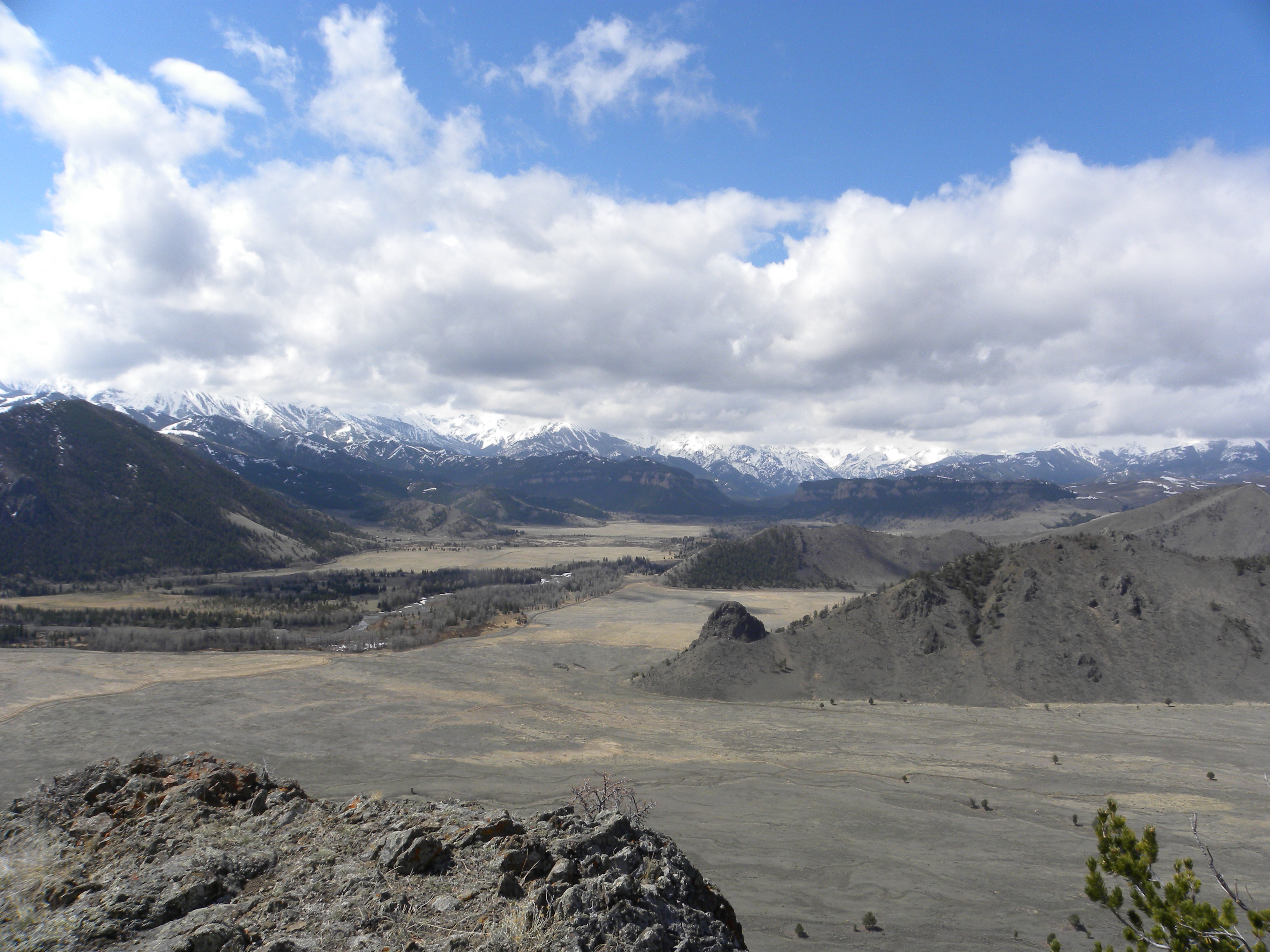
This is an area I’d been to several times before.  A trail runs along the Absaroka front, and maintained trails around the Absarokas are unusual to find in general, let alone ones that are marked with cairns.  I was surprised at the height of the cairns, considering this is Bureau of Land Management (BLM) lands.  “Why”, I asked myself, “would the BLM go to such great lengths to construct these massive trail markers?”

What is a cairn?  Basically it’s a pile of rocks that one usually sees to mark trails that are not easily visible in the back country.  In other words, they are usually placed at points where one might lose one’s way and are usually put there by hikers.

Last week I hiked this area again, this time with a friend who had heard that there were many more cairns and the cairns were put there by Sheepeater Indians.

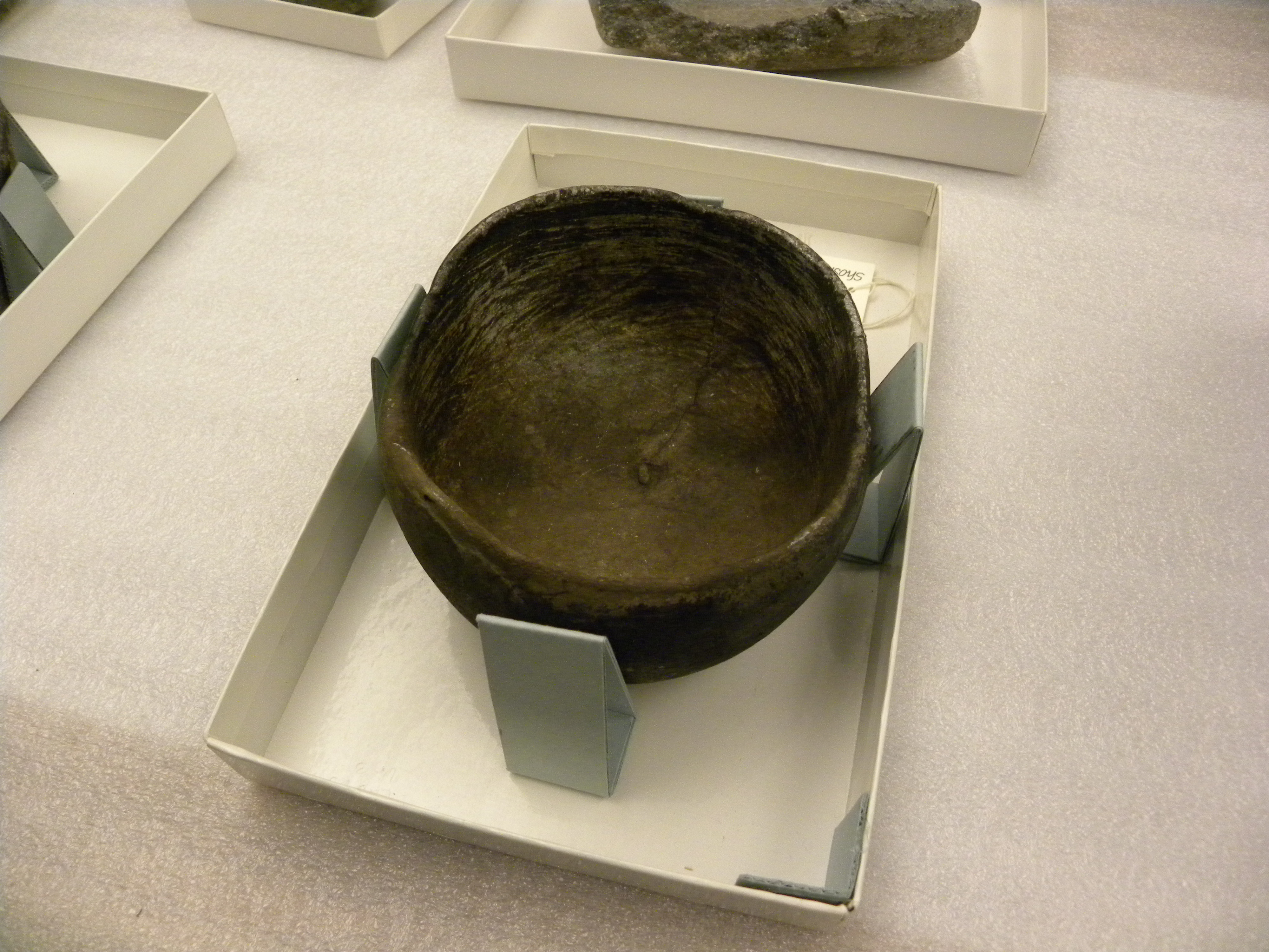
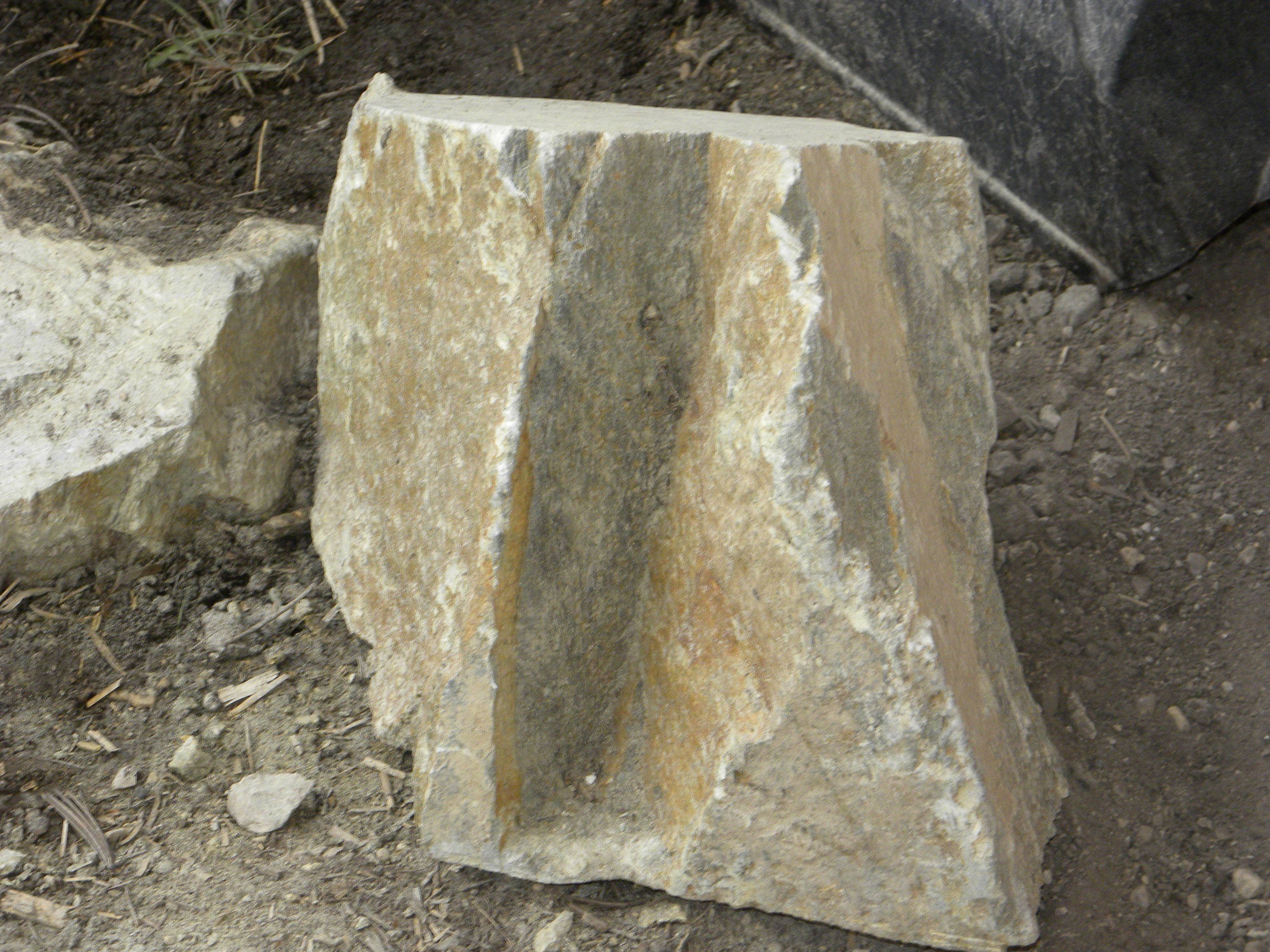
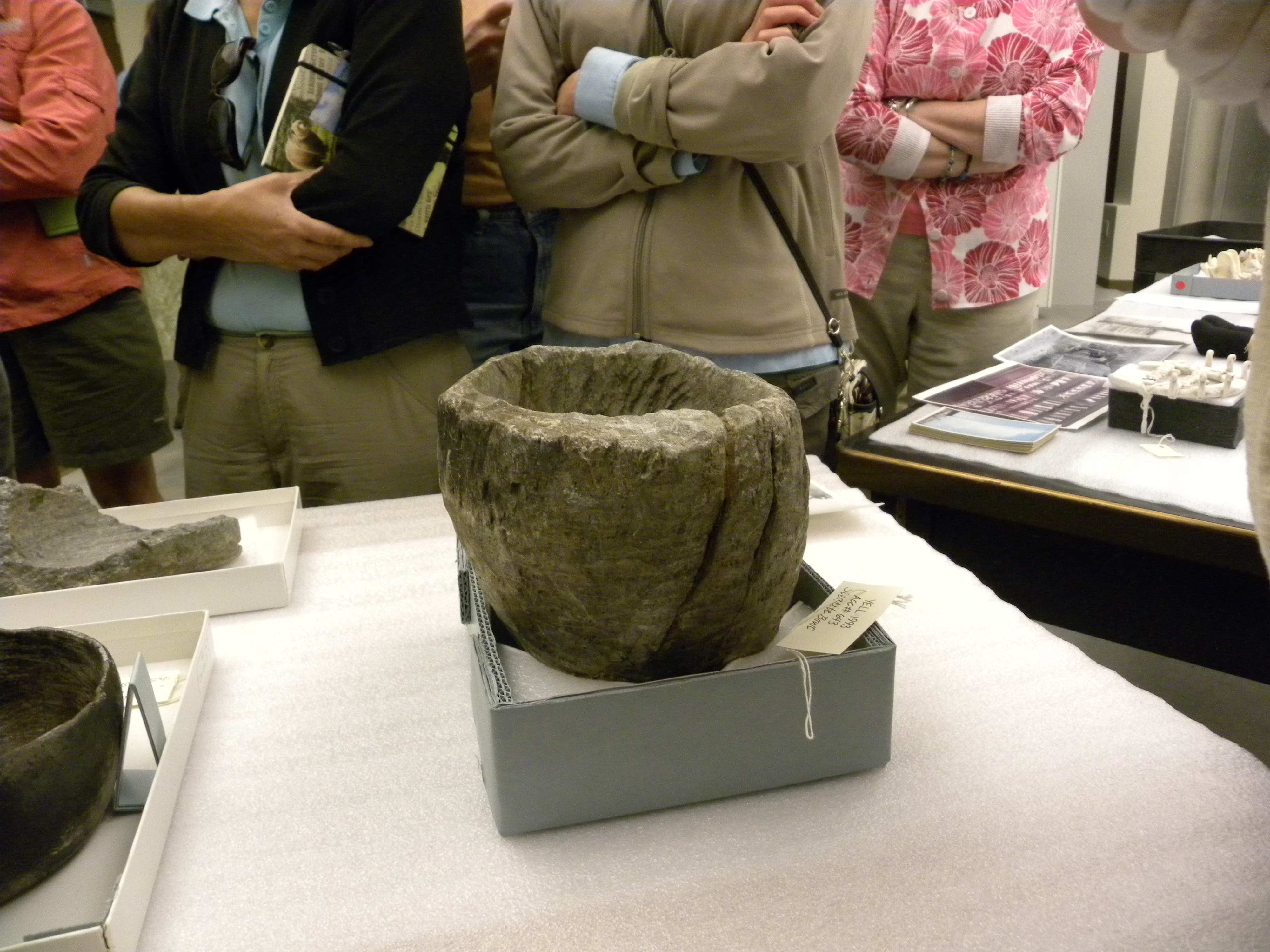
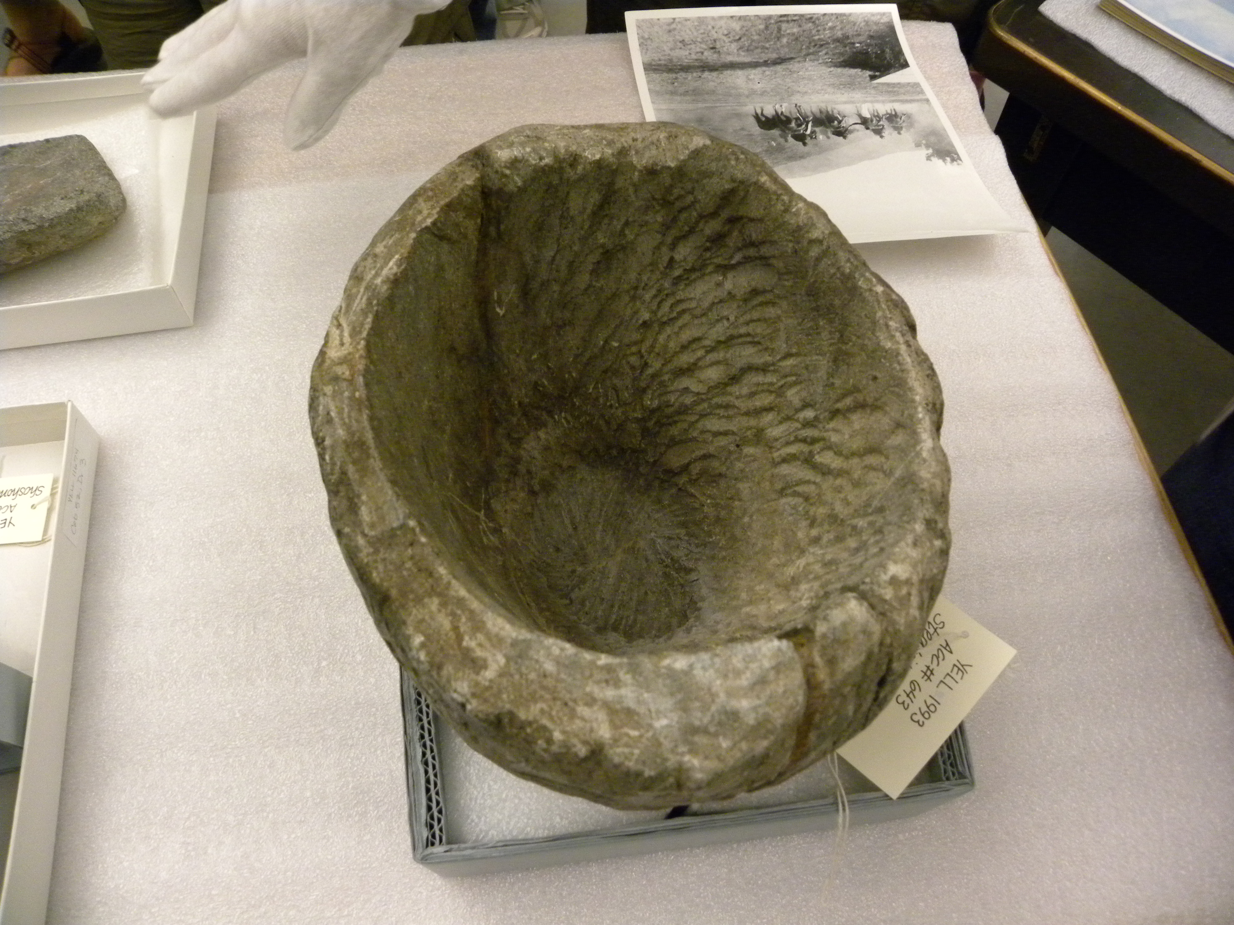
Koda has a drink of rainwater from a natural stone bowl in the high desert

So we hiked the trail, which after about 2 miles turns into nothingness, just peeters out and there’s a stock fence one has to cross if you want to continue.  Last time I did cross over the fence, but on the other side is a steep drainage, followed by a series of steep drainages.  Today we stopped near the fence, looked north up into a ‘V’ shaped drainage that was fairly steep.

We hiked up the 'V' shaped valley to a series of cairns

We began the climb up the drainage.  The Cairns appeared, large and numerous. At first it seemed like they were positioned on either side of the valley’s opening. The drainage narrowed as it rose higher, the cairns got closer together, at times steering around hummocks.  I was certain that this must be a Sheepeater’s animal drive, probably for Bighorns.

But then the pattern disappeared and it became very unclear what the purpose of the cairns’ were.  We found altar-like rock formations in two separate areas that were in the center of small clearings.  I insisted we hike as far as we could to see when the cairns stopped.  They stopped at a small flat clearing encircled by steep walls where the drainage splits into two.

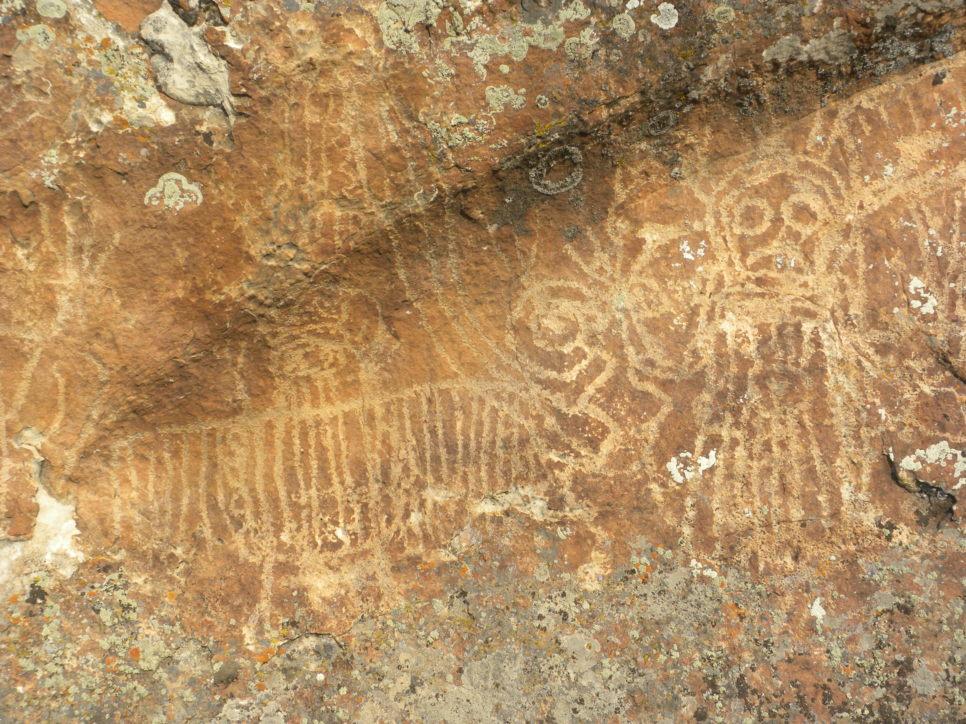
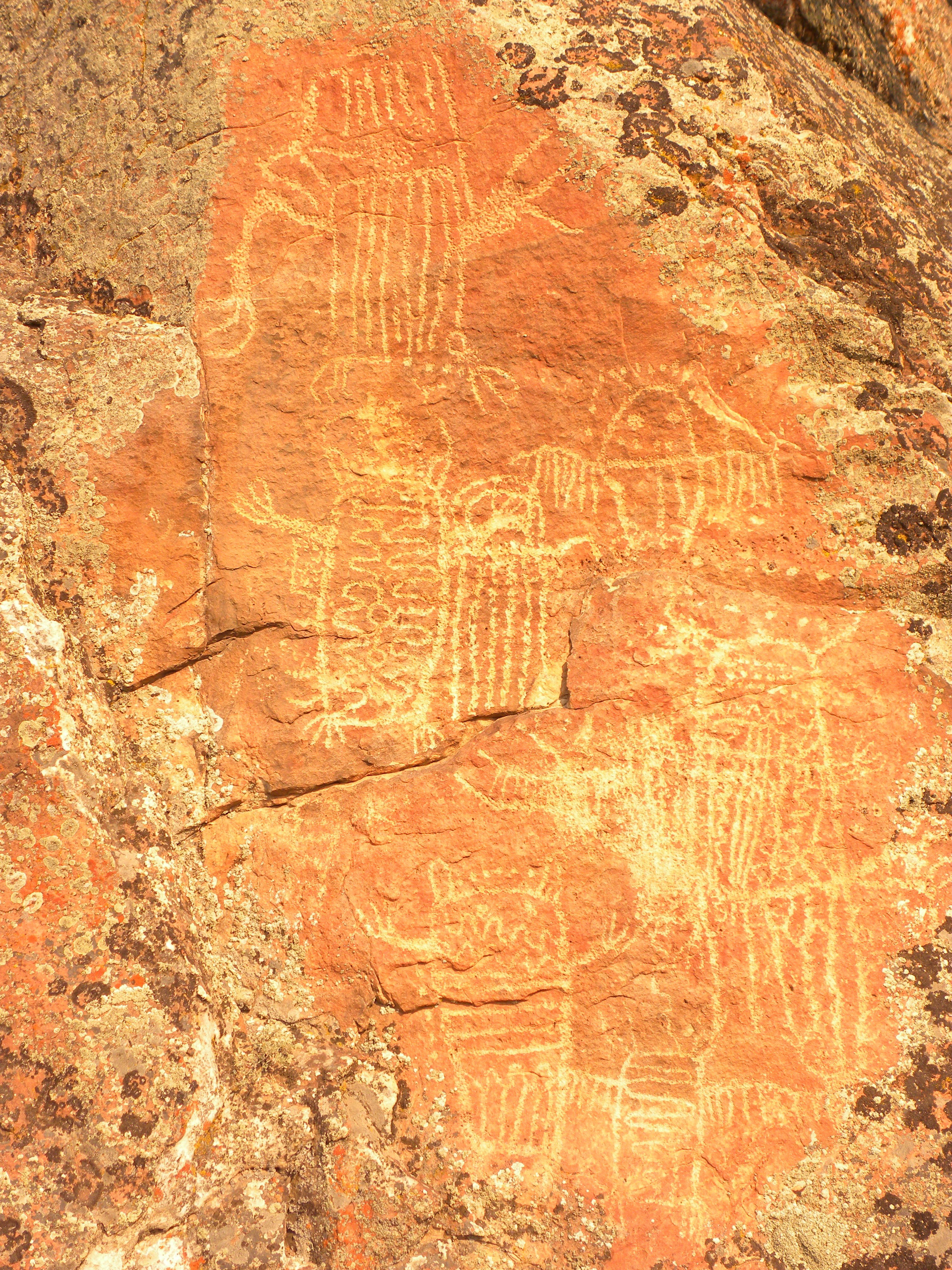
We counted over 32 cairns with 2 altars.  Some of these had been already surveyed by the BLM, as they left steel markers beside them.  If you look at these cairns carefully, you begin to notice several things.

First, that they are very well-constructed.  Many of the rocks are quite large, probably weighing over 200 pounds.  Some of the rocks would take 3 people to move into place.  Also, each cairn is incredibly heavy and sturdy.

Second, that most of the rocks in the cairns are placed with their top side (the side that had been out of the dirt) facing the inside of the structure.  I have worked with rocks for many years.  I’ve spent hundreds of hours picking out rocks as well as supervising men to place them exactly how I want them to look.  If you are doing a design for a landscape, you want to pick out a rock with a lot of lichen.  Its also very obvious which side was in the dirt, because it doesn’t have any lichen growing on it and its dirtier.  Also, there is always an obvious line on a rock that marks where the rock was below and above the dirt.   You could still see the dirt line on these rocks, but because they’d been exposed for so long, the ‘dirt’ side wasn’t dirty, just a lighter color.  The darker side, the top of the rock, still had the lichen growing on it.  I had to wonder if this was intentional.  Because the lighter side was the most exposed, maybe you could see the rocks better in the moonlight, or in the snow, or at night with torches.   Light would reflect better off of a lighter surface.  Maybe it just stood out better in the landscape.

Thirdly, these were very large rocks, and the hillside was steep.  You would have to assume that these were rocks taken from directly nearby each cairn.  And if this were the case (it would be a much bigger building effort to carry rocks from a different location up this hillside), then you’d see depressions in the soil from which the rocks were taken.  But there was no evidence of this at all, which suggested to me that these cairns were very very old; old enough so soil had time to accumulate and vegetation to grow.  In this very dry and sparse country, land scars take a long time to heal over.

And lastly, many of these cairns were a work of art and beauty.  Having worked with rock and stone for so many years, I have a great appreciation for these things.  I can easily tell a stone wall constructed by a master mason, or when rocks are placed in a natural and considered manner.  Many of these cairns followed lines of an existing boulder perfectly.  Some were balanced intricately on the steep hillside. These cairns were done by master builders, and were still standing after many years.  They weren’t piles of rocks just to mark something.  They had intention in them.

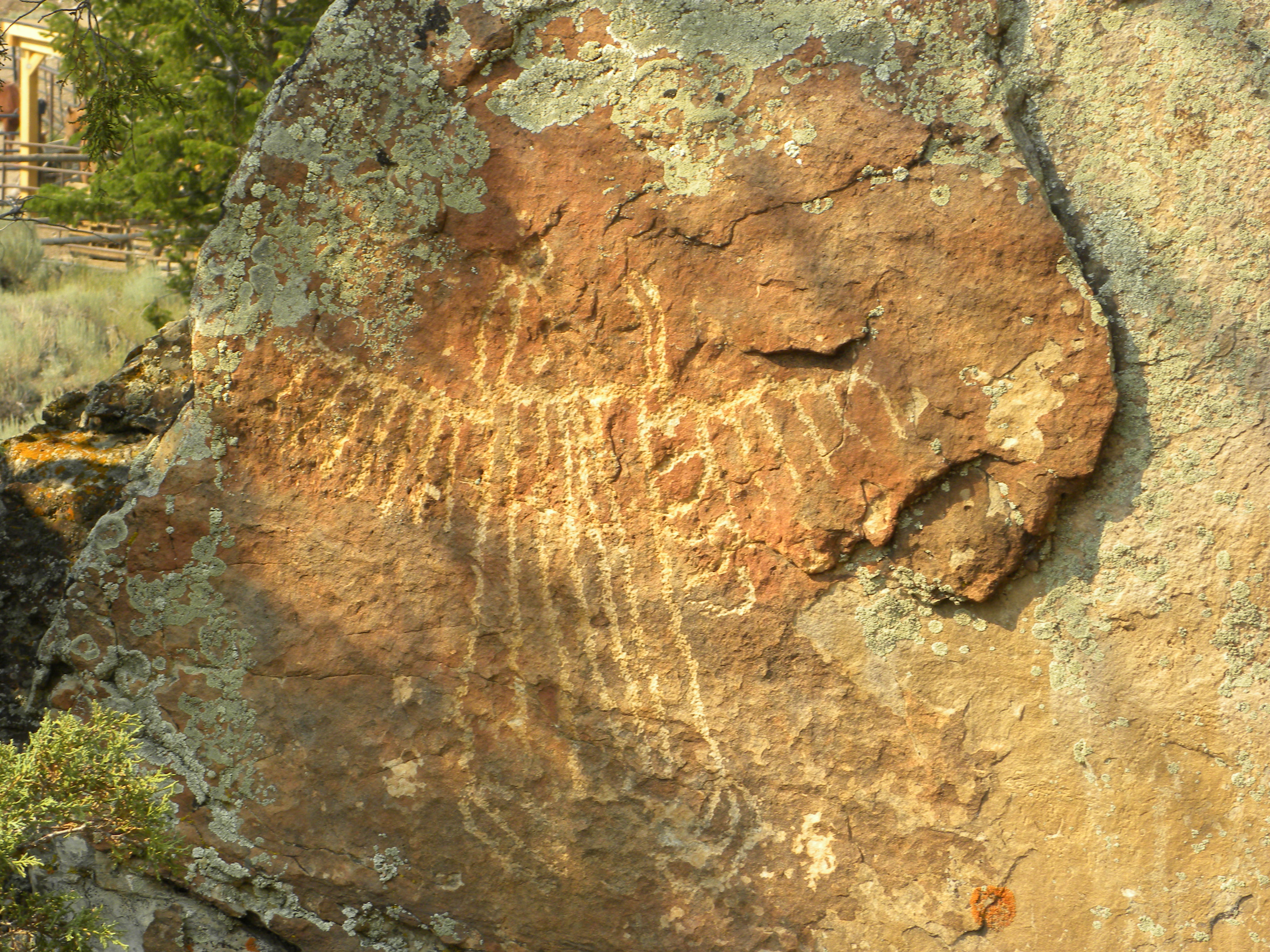
One of the smaller but beautiful cairns. This one follows the lines of the existing boulder to form a triangle

Tonight as I was driving home,  I remembered that not too far away from these cairns is some private land where the Wyoming Archaeological Society studied a series of cairns that served as a buffalo drive.  I wondered if there was any connection between these two sites, which are so close together.

WY Archaeological Society map of an ancient buffalo drive area in NE WY

All this made me think again about the BLM’s plan for the next 20 years, which is in progress at this moment, though comments are now closed.  There are some factions who would like all our public lands open for drilling, without concern for wildlife, aesthetic beauty or even sacred sites.  There is also a strong movement to keep the Absaroka front off-limits to any kind of development such as oil and gas. Not only is the Absaroka front a very important corridor for wildlife movement, and not only is it uniquely stunning in its natural beauty, but here is living proof that it was, and still is, sacred ground.  These cairns are arranged as a hidden code, with meaning we have not unlocked, but with an intention very clear to their builders.  I believe that this site may have been some kind of animal drive, but it seems to have been more than that, especially since we found clear altar-type rock formations.  This site had sacred and special meaning and is just more evidence of why we need to protect this places and special places like this for all time into the future.