• BOOKS ABOUT WILDLIFE AND HEALTH

  • My latest book available in paperback and eBook formats

  • Available from Amazon paperback or Kindle

  • Updated w/double blind study results. Ebook or paperback

  • New updated edition available NOW!

  • Recent Posts

  • Tracking Footprints

  • Archives

  • Top Posts

  • Pages

Wind Rivers: Epicenter of Rocky Mountain Archaeology

Rich Adams, former Wyoming State Archaeologist, is rocking the premises of Rocky Mountain Archaeology with his discoveries in the Wind River Mountains of high-rise villages.  In 2006, an ancient village was discovered at over 10,700 feet on the eastern slopes near Whiskey Mountain in Dubois.    This is only one of two high rise villages in North America consisting of forty seven 10×14 dwelling pads, many artifacts including soapstone bowls.

Lake Louise near Whiskey Mountain and Ring Lake

Lake Louise near Whiskey Mountain and Ring Lake

Since then Adams has uncovered over nine high-rise sites in the Winds, with only one or two of them on the western side of the Divide.  But with these sites being over 4000 years old, archaeologists are going to have to rethink their dates of when the Shoshones came here from the Great Basin region.

I spent a few weeks backpacking early August in the Winds (next blog will be on that when the photos arrive) and had the opportunity to hear Adams speak and see the amazing petroglyphs on Ring Lake Ranch.  The villages and the glyphs are Sheep Eater Shoshone relics.  On my second backpack on the west side up New Forks, I met a Bridger-Teton archaeologist who was looking for Indian remnants.  Apparently there is an intensive effort now to document whatever can be found before being destroyed by fires or by humans.

Sheep Eater Shoshones lived in the summers at high elevations around 11,000′.  There are plenty of fairly flat sites in the Wind Rivers at this elevation for making a camp.  And although today this would be above timberline with no trees, thousands of years ago the weather was wetter and treeline was higher.  So these villages would be in a nice sparse forest of White Bark Pine.

DSCN1643

They were into flying spirits

Sheep Eaters were there to hunt the Bighorn Sheep that range high up in summer, and come down lower in winter.  They followed the plant bloom and ate roots.  They could gather berries in August and pine nuts in the fall.  By late fall they’d venture down lower to a place like Ring Lake which has little snow throughout the winter and the sheep are nearby.  Their petroglyphs might reflect sacred burial areas, or vision quest sites.  They knew the Land and the landscape and let it dictate their wanderings.

DSCN1661

Panel with a bighorn sheep

DSCN1663

DSCN1647

Lake Louise

The lichen was removed to better reveal these drawings

DSCN1646

DSCN1651

Bird like feet

Bighorn Sheep, Sheep Eaters and Soapstone

I’ve been thinking about sheep and the peoples whose diet centered around  them.

For quite some time, I”ve wanted to make an authentic Sheep Eater soup with a steatite bowl .  Since I knew I wouldn’t be able to buy one, the only solution was to make one myself.  Steatite is another word for soapstone, and the Sheep Eater Indians would quarry the stone and make bowls from them.  Few of these bowls have been uncovered , probably because they broke over time.  It appears they were passed down through the women, and possibly made by women as well.  The men might have quarried and shaped the starting blocks.

The bowls, being heavy, were  left at campsites, stashed for use when the peoples came back to the area.  Most of the sites seem to be very high up, above 3000 meters.  That is because these quarries are located high in the mountains.  The bowls were carved right close to the quarries, which makes sense considering how heavy the rock is.

Soapstone, or steatite, bowls were used for cooking Sheep Eater stews consisting of sheep, bulbs and forbs.  The bowls could be placed right in the hot coals.  Once removed from the fire, the bowls stayed hot for a long time.  One of the most difficult items for native peoples in any culture to obtain were containers.  Containers were prized possessions, whether they were constructed of fiber, pine needles, gourd or rock.  I’m sure that is why these bowls were passed down generation to generation.

YNP Archives Sheep Eater bowl

YNP Archives Sheep Eater bowl

Last year I set about trying to find a quarry.  I knew there was one in Dillion MT.  Since I was on my way to California for December, I thought I could find one there.  California has several soapstone or Talc quarries but none of them were operating.  I found a woman in Northern California who imported various stones for carving.  She sold me a block of Brazilian soapstone, warning me that a lot of soapstone has asbestos in it and hers didn’t.

In geology language, rocks are graded on a scale of 1-10 for their hardness qualities, with soapstone being a 1 and diamond a 10.  Since I thought all soapstone was equal, I began work on this block of brazilian stone.  After several months, lots of drill bits, dremel bits, chisels, etc., I had made little progress.  Apparently soapstone itself can have a variety of hardnesses.  This brazilian stone was awfully hard, and didn’t have the ‘soapy’ consistency that is associated with soapstone.  Complaining about my trials to a local friend, he immediately made a few calls and found me an original Wyoming piece of soapstone, quarried naturally from a secret spot out of Tensleep in the Big Horns.  The block he gave me had a strange shape, difficult to cut a piece out of for a bowl, but I managed.

Odd shaped Wyoming soapstone block

Odd shaped Wyoming soapstone block

I’d seen a video where Richard Adams said it took about 30 hours to make a finished bowl.  With the Brazilian stone, there was no way I was going to make a bowl in that time.  I’d already invested more than that and hadn’t come far.  So I wasn’t sure what to expect when I began working on the Wyoming block.  But the going was easy, and in about twenty hours I had a decent bowl that I could call finished enough to cook in.

My almost finished bowl

My almost finished bowl

DSCN1393

Requires lots of elbow grease. I learned a lot working both pieces of stone

Here is a photo from the Park achives outside of Gardiner (worth making an appointment to see the new building) of what Adams calls a pre-form, or an unfinished bowl.

YNP archives

YNP archives pre-form bowl

YNP archives unfinished bowl

YNP archives unfinished bowl

Yesterday, after working on my bowl for several hours, I took a hike up nearby Margarite draw.  Last year I found a cougar den up there and I wanted to see if there had been any occupation this year.  As I hiked higher and higher through the trees, I spotted a low saddle and headed for it.  At the ridgeline the view of the Absarokas was breathtaking. Absaroka spring 2013 I saw a few elk grazing down below, but I had a hunch if I glassed these rocky hills I might see some sheep.  Sure enough, a group of ewes was farther along the ridgeline.  With the wind in my face, I figured I might be able to sneak up on them and get some good photos.  What little I know about bighorn sheep is that when spooked they always go higher.  So in approaching a group, if one approaches from higher up, they rarely look up to spot you.  I tried the tactic and sure enough, it worked fairly well.Bighorn sheep Young bighorn sheep

At the end of my several hour hike, I ran into the herd again, now grazing on the other side of the hills.Bighorn sheep

Pretty soon I’ll try out my new bowl.  The green-up is beginning and I saw some Pasque flowers.  Soon there will be Spring Beauties to add to my soap along with other greens.  A friend who shot a Bighorn sheep a while back will give me a bit of mutton to add so I can make an authentic Sheep Eater stew in my homemade steatite bowl.

The Wonderful Absaroka Front

This is an area I’d been to several times before.  A trail runs along the Absaroka front, and maintained trails around the Absarokas are unusual to find in general, let alone ones that are marked with cairns.  I was surprised at the height of the cairns, considering this is Bureau of Land Management (BLM) lands.  “Why”, I asked myself, “would the BLM go to such great lengths to construct these massive trail markers?”

What is a cairn?  Basically it’s a pile of rocks that one usually sees to mark trails that are not easily visible in the back country.  In other words, they are usually placed at points where one might lose one’s way and are usually put there by hikers.

Last week I hiked this area again, this time with a friend who had heard that there were many more cairns and the cairns were put there by Sheepeater Indians.

Koda has a drink of rainwater from a natural stone bowl in the high desert

So we hiked the trail, which after about 2 miles turns into nothingness, just peeters out and there’s a stock fence one has to cross if you want to continue.  Last time I did cross over the fence, but on the other side is a steep drainage, followed by a series of steep drainages.  Today we stopped near the fence, looked north up into a ‘V’ shaped drainage that was fairly steep.

We hiked up the 'V' shaped valley to a series of cairns

We began the climb up the drainage.  The Cairns appeared, large and numerous. At first it seemed like they were positioned on either side of the valley’s opening. The drainage narrowed as it rose higher, the cairns got closer together, at times steering around hummocks.  I was certain that this must be a Sheepeater’s animal drive, probably for Bighorns.

But then the pattern disappeared and it became very unclear what the purpose of the cairns’ were.  We found altar-like rock formations in two separate areas that were in the center of small clearings.  I insisted we hike as far as we could to see when the cairns stopped.  They stopped at a small flat clearing encircled by steep walls where the drainage splits into two.

We counted over 32 cairns with 2 altars.  Some of these had been already surveyed by the BLM, as they left steel markers beside them.  If you look at these cairns carefully, you begin to notice several things.

First, that they are very well-constructed.  Many of the rocks are quite large, probably weighing over 200 pounds.  Some of the rocks would take 3 people to move into place.  Also, each cairn is incredibly heavy and sturdy.

Second, that most of the rocks in the cairns are placed with their top side (the side that had been out of the dirt) facing the inside of the structure.  I have worked with rocks for many years.  I’ve spent hundreds of hours picking out rocks as well as supervising men to place them exactly how I want them to look.  If you are doing a design for a landscape, you want to pick out a rock with a lot of lichen.  Its also very obvious which side was in the dirt, because it doesn’t have any lichen growing on it and its dirtier.  Also, there is always an obvious line on a rock that marks where the rock was below and above the dirt.   You could still see the dirt line on these rocks, but because they’d been exposed for so long, the ‘dirt’ side wasn’t dirty, just a lighter color.  The darker side, the top of the rock, still had the lichen growing on it.  I had to wonder if this was intentional.  Because the lighter side was the most exposed, maybe you could see the rocks better in the moonlight, or in the snow, or at night with torches.   Light would reflect better off of a lighter surface.  Maybe it just stood out better in the landscape.

Thirdly, these were very large rocks, and the hillside was steep.  You would have to assume that these were rocks taken from directly nearby each cairn.  And if this were the case (it would be a much bigger building effort to carry rocks from a different location up this hillside), then you’d see depressions in the soil from which the rocks were taken.  But there was no evidence of this at all, which suggested to me that these cairns were very very old; old enough so soil had time to accumulate and vegetation to grow.  In this very dry and sparse country, land scars take a long time to heal over.

And lastly, many of these cairns were a work of art and beauty.  Having worked with rock and stone for so many years, I have a great appreciation for these things.  I can easily tell a stone wall constructed by a master mason, or when rocks are placed in a natural and considered manner.  Many of these cairns followed lines of an existing boulder perfectly.  Some were balanced intricately on the steep hillside. These cairns were done by master builders, and were still standing after many years.  They weren’t piles of rocks just to mark something.  They had intention in them.

One of the smaller but beautiful cairns. This one follows the lines of the existing boulder to form a triangle

Tonight as I was driving home,  I remembered that not too far away from these cairns is some private land where the Wyoming Archaeological Society studied a series of cairns that served as a buffalo drive.  I wondered if there was any connection between these two sites, which are so close together.

WY Archaeological Society map of an ancient buffalo drive area in NE WY

All this made me think again about the BLM’s plan for the next 20 years, which is in progress at this moment, though comments are now closed.  There are some factions who would like all our public lands open for drilling, without concern for wildlife, aesthetic beauty or even sacred sites.  There is also a strong movement to keep the Absaroka front off-limits to any kind of development such as oil and gas. Not only is the Absaroka front a very important corridor for wildlife movement, and not only is it uniquely stunning in its natural beauty, but here is living proof that it was, and still is, sacred ground.  These cairns are arranged as a hidden code, with meaning we have not unlocked, but with an intention very clear to their builders.  I believe that this site may have been some kind of animal drive, but it seems to have been more than that, especially since we found clear altar-type rock formations.  This site had sacred and special meaning and is just more evidence of why we need to protect this places and special places like this for all time into the future.


Wikiups, cattle and a few hundred years

This is not going to look like much, but there’s a story here.

This summer I contacted the Forest Service archaeologist.  The forest service is planning on doing logging and burning in the valley for beetle damage.  Since our stream is on forest service land, and is a sensitive area, I didn’t want logging done there.  The hydrologist, the archaeologist and the permit supervisor came out and did a walk through.  Afterwards, I took the archaeologist aside and showed her some arrowheads and a large spear I’d found on my property.

2500-3000 year old spear head found on property

The archaeologist was amazed at the find and told me she wanted to come back with Larry Todd, a premier archaeologist in the state, and make some molds of the spear from clay.

In the fall, Larry and Molly came up to my house and made an identical mold of the spear.  Larry put the age, although it was very hard to age it, at around 2500 years old.  I showed him a small obsidian arrowhead that I had found, oddly enough, on the same day, behind my house.  He aged that at around 4000 years old.

Molly and Larry were on their way up the valley to find, document, measure, and photograph some wikiups.  They invited me to come along.  They had a rough photograph taken in the seventies of the five wikiups which were still standing at the time.  A former forest service archaeologist had measured and documented them.

I knew the small drainage.  I’d hiked it several times.  It was an off shoot that had only a well-used animal trail heading up it.  The trail led to a small flat clearing which then separates into two very narrow draws, both of which get steep and dead end quickly.  I’d never seen any wikiups there.

We hiked up the draw and arrived at the clearing.  Molly had shown me the photo from the 1970’s.  The wikiups were upright and intact.  But now she pointed them out, a pile of sticks.  Once I knew what I was looking at, it was easy to find the five piles of sticks–old sticks, but still now just sticks.

The two archaeologists spent an hour collecting data.  Larry said these wikiups were probably over 300 years old.  The poles, unrecognizable to me even though I’m quite familiar with trees, were made of aspen.  Looking around, there were only one or two aspen in the area.  Obviously the landscape had been different then, changed mostly by frequent fire.

A long time resident had told Molly that he used to picnic here with his parents as a child.  The wikiups were still standing then.  But the cattle that are allowed to run free-range in the valley also liked to lay here and rub themselves against the standing wikiup poles.  Eventually the cattle knocked all of them over.

Wow!  After 300 years intact, these special artifacts were destroyed in just the last 25 years–by cattle.

300 year old wikiup standing till 25 years ago when destroyed by cattle

Would we let cattle  hang around the Liberty Bell, defecating and knocking the bell over?  I was saddened and appalled at the unconscious policies that allowed these cattle to run rampant over native sacred heritage sites.   These cattle, owned by a super wealthy ranch, provide only a nice tax break for the ranch owner.

Have we lost our perspective?  We must make an effort to preserve these delicate sites.  Soon fires will come and destroy them; that is for sure.  But our stance should be to protect these sites, as long as we can, for future generations, and, if for no other reason, out of respect to the peoples who came before and their present day ancestors.

Big Horns, Medicine Wheel, and the Pryors

Last week I took off for a few days and went to the Big Horns.  I intended to go for 3 days, but got rained out on the second evening.  I had been to the Pryors a few days before, and was quite taken with the area so I wanted to explore it more.  The Pryors are sacred to the Crow Indians.  Part of the land is on Crow Reservation and not accessible to the public.  Some of the mountains are in Montana, and some in Wyoming, with a section of it reserved for Wild Horses.  The entire area is considered a Wilderness Study Area, which means that it’s pending designated Wilderness.  Rarely visited, its a special place.  There are some old uranium mines there and mining claims.

Since Day 1 was really hot, I decided to backtrack to the Pryors and head first for the Big Horns.  My main intention was to go to The Medicine Wheel.   This is a holy site for many Plains Indians tribes.  Its a place of pilgrimage.

Entrance to Medicine Wheel

Signage at the site notes that some people can prepare for a year before making the trip.  A young Forest Ranger was stationed at the Wheel to make sure there was no vandalism, and if Native Americans wanted to go inside, he had a key.  When ceremonies are conducted, the site is closed to tourists.

He told me that years ago, before there was such tight control, tourists (not Native Americans) would take home rocks from the structure as souvenirs. In fact, he said, the height of the circle of rocks was 2′ or 3′ taller than it is today.

I was reminded that in Uluru, tourists sometimes take home pieces from the sacred site.  There is a large collection of rocks that were mailed back to Uluru because tourists went home and felt they were brought bad luck, bad karma, or whatever, from taking souvenirs from the site.Medicine Wheel signageI circumambulated the Wheel three times and left a small gift at the East facing entrance.  Its a wonderful and mysterious place.  Some say it was constructed by Sheepeaters.

From there I took the Jaws hike down a beautiful canyon opposite the Wheel.  I saw several moose and deer with their antlers in velvet.

The jaws hike

The jaws hike

Along the canyon hike

Along the canyon hike

The next day I went to the Pryors.  It was overcast and drizzling, perfect weather for hiking in this exposed country.  The Pryors were an ancient Indian route through the Big Horn Canyon.  There are many spots right along the main road of the Recreation Area with teepee rings.  Instead of going along the main road, I took a 4×4 track.

Pryor Mountain Wild Horse RangeThe Pryors

Koda matches

Koda matches

On the way out I encountered a mama wild turkey on her clutch of eggs.Wild Turkey on eggs

Wild turkey eggs

The wickiup

Last week my friend W__ and I hiked up almost to the ridgeline on the steep slopes across the river from my cabin.  That entire hillside used to be owned by Doc Firor, the original owner of my cabin.  Unfortunately, it had been sold after he died and divvied up into  6 acre parcels with cabins on it.

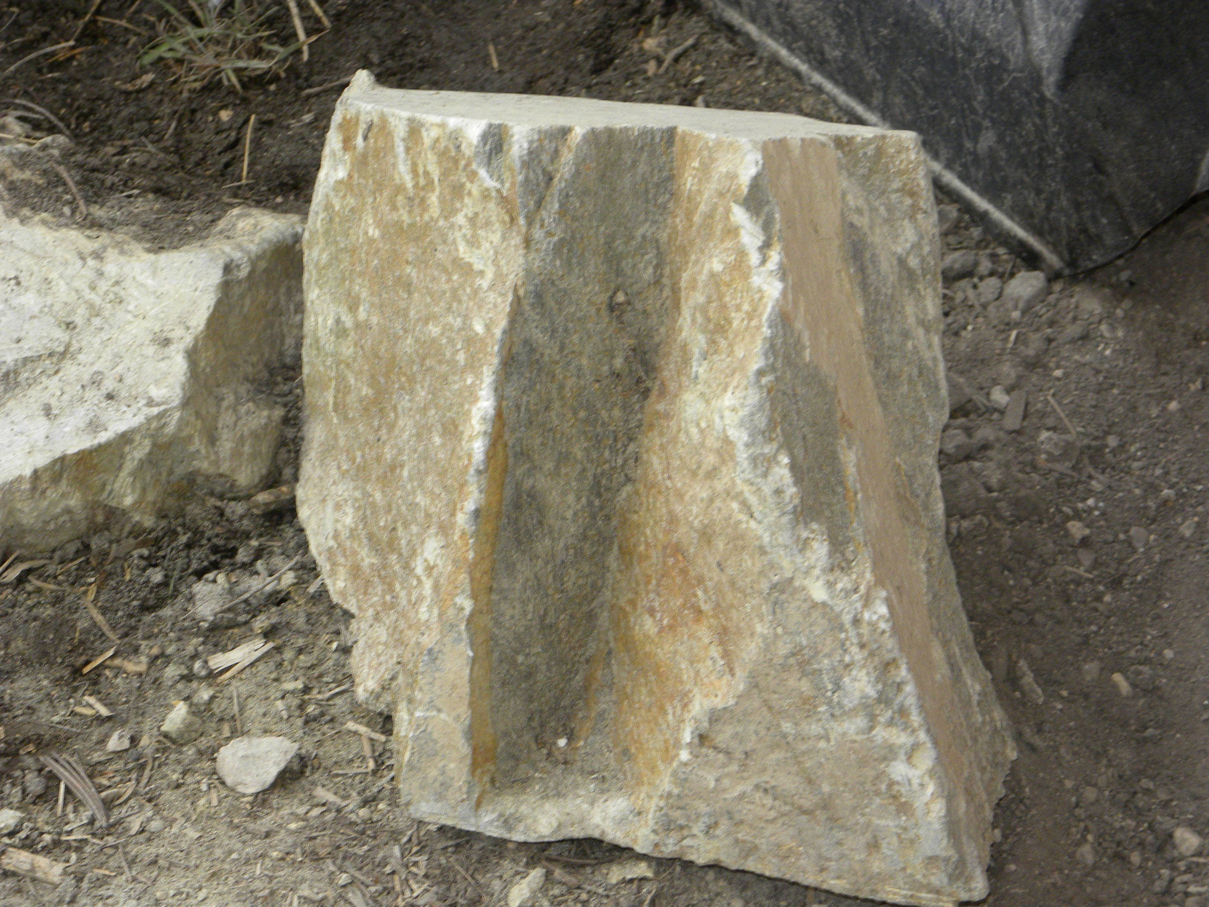
That is the south facing side and is basically granite, which means its mostly treeless down below and there’s very little water run-off.  In fact, over these last 10 years of drought and climate change, many of the springs have dried up.We hiked almost to the ridgeline

W__ had been up there several years ago with a local and found some evidence of Sheepeater houses.  “My friend pointed to some old logs and said ‘these are them’.  I really had to use my imagination.”

The hike is tough and pretty much straight up.  You climb through a series of level meadows followed by steep ascents.  The first 2/3 consists of scattered limber pines and doug firs.  W__ couldn’t remember exactly at what height he had seen the ruins, so we wound up climbing almost to the base of the cliffs.  Several levels below the cliff-line is open forests with stunted trees.  We were right below the cliffs

Most of the time we followed deer or elk trails.  We would stop and inspect a level area, then move on to higher ground.  At one point I spotted a tiny obsidian flake.  I have no idea how I found it amidst all the duff and debris.  We joked that the obsidian flake and the crow feather we found meant we were ‘hot on the trail’.

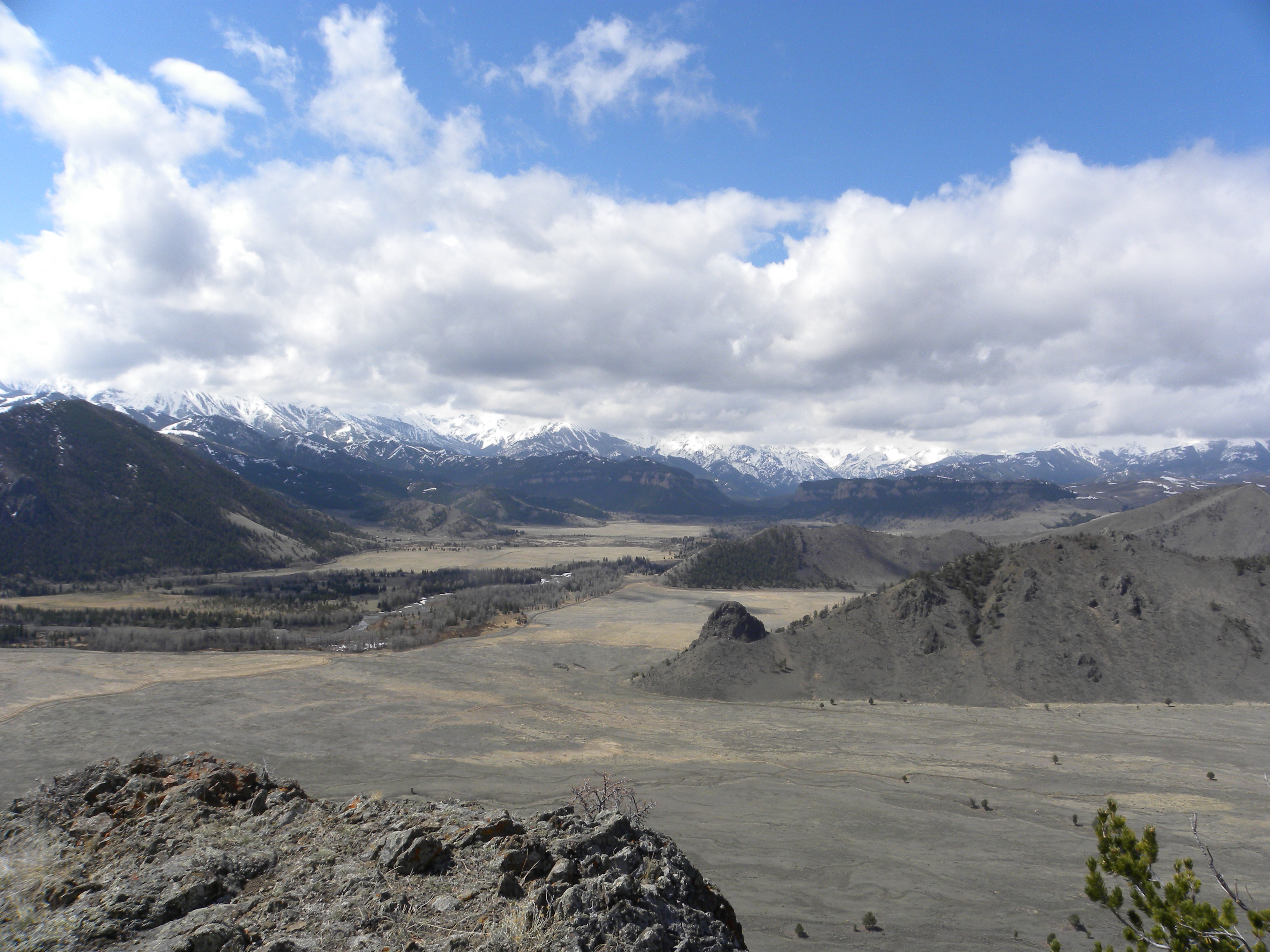
Pretty soon, after not encountering any sheepeater evidence, I forgot all about looking for ancient artifacts and enjoyed the forest.  The rolling gurgle of Sandhill cranes in the distance, migrating in, spoke of winter breaking.  The views were magnificent as we were about 2,000 feet above the valley.The view was magnificentAfter a lunch break we began heading back.  We descended slightly down to a lower yet still forested level that we hadn’t inspected.   Suddenly W__ spotted some old timber.  In a flat clearing, butting up against the hillside, was a distinct squared off area constructed of ancient logs.Sheepeater hut

Another view

I looked around and noticed that behind me was access to the cliff areas, while in front was a complete view of the valley.Access to the cliffs behind

Site looks over the whole valley

A spring used to run nearby that’s now dry since the homeowners below diverted it for their own use.   Several hundred yards directly east we encountered an opening to a gully that ran east/west.  We walked along the top of the unusual drainage, now full of snow.  It was long and wide, narrowing into a natural boxed trap.  I could almost imagine the Sheepeaters driving Bighorn into the small canyon where they’d easily be trapped and killed.  Probably this dwelling, I thought, was just a temporary shelter used in winter.  The haul of the kill back down the valley to the Bugas-Holding site, not exactly nearby, must have been tough.  The Sheepeaters used dogs with travois to do a lot of their carrying.

The one thing that made me uncertain was that all the pictures I’d ever seen in books had Sheepeater ‘houses’ as teepee style structures, with logs piled on top of logs.  This was definitely a square structure.

When I returned I showed the photos to my old neighbor JB who grew up in the valley.  He further cast doubt on the sheepeater theory as he thought the structure looked more like an old bear trap.

“There’s a tree in the middle with only one exit.  They’d tie a horse as bait for the bear.  I bet that’s what that is. The Indian houses were teepee log structures.”

Somehow I couldn’t imagine those old homesteaders climbing way up the mountain to bait a bear.  “Heck”, I thought, “if I was going to bait a bear, I’d do it in the drainages down below where they usually hang out. And I wouldn’t have to trek way up here.”  W__ thought it was all wrong.  “No”, he said, “the logs are really old.  That’s a sheepeater’s structure.

Several days later I decided to take another look.  I found an easier route from the road.  Although not as much climbing was involved because I started higher up, I had a lot more ground to cover.  Taking another look at the structure, it had absolutely no exit.  There were four complete sides.  And the dead tree inside was too young compared to the timber used to construct the dwelling.  Still I had no way of being certain.  I don’t have the expertise and there’s always the unknown factors.

On my way down the hillside, I ran into some locals.  The woman was from the University of Wyoming extension.  They knew the area and knew of the wickiup.

“Several years ago that was discovered by one of the ranch hands doing some work on the stream.  He called George Frison who came out and looked at it.  Frison said it was the real thing–a Sheepeater dwelling.  It used to be more intact, had more height to it.  It’s deteriorated since we first saw it.”

I had to wonder how the structure had deteriorated so fast over the last 20 years compared to the fact that its probably at least 150 years old.  These are special sites and need to be watched over.  When the ’88 fires came through here, the forest service was cutting break lines.  If it hadn’t been for one of the locals pointing out a sheeptrap to them, they would have cleared it completely.

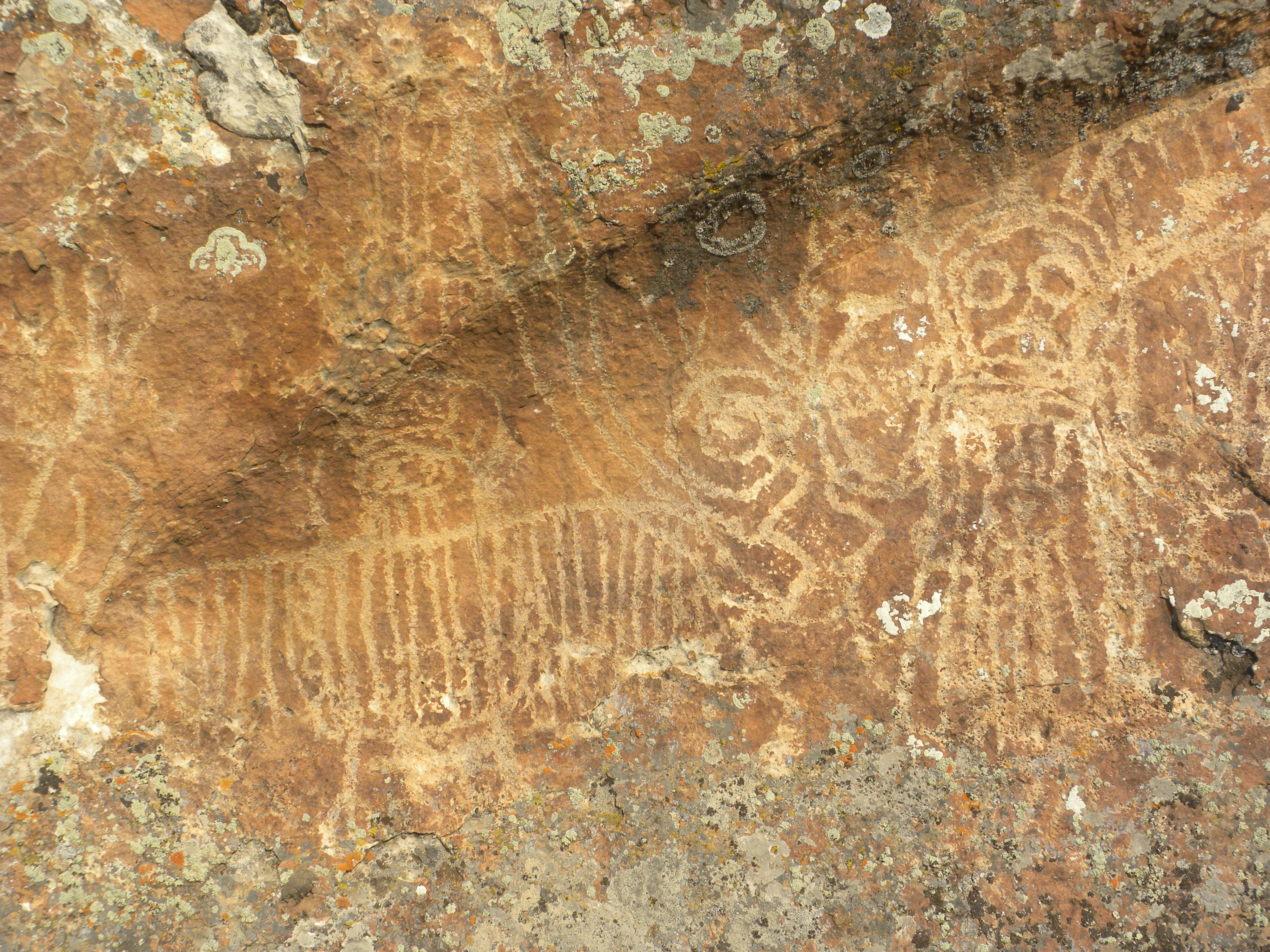
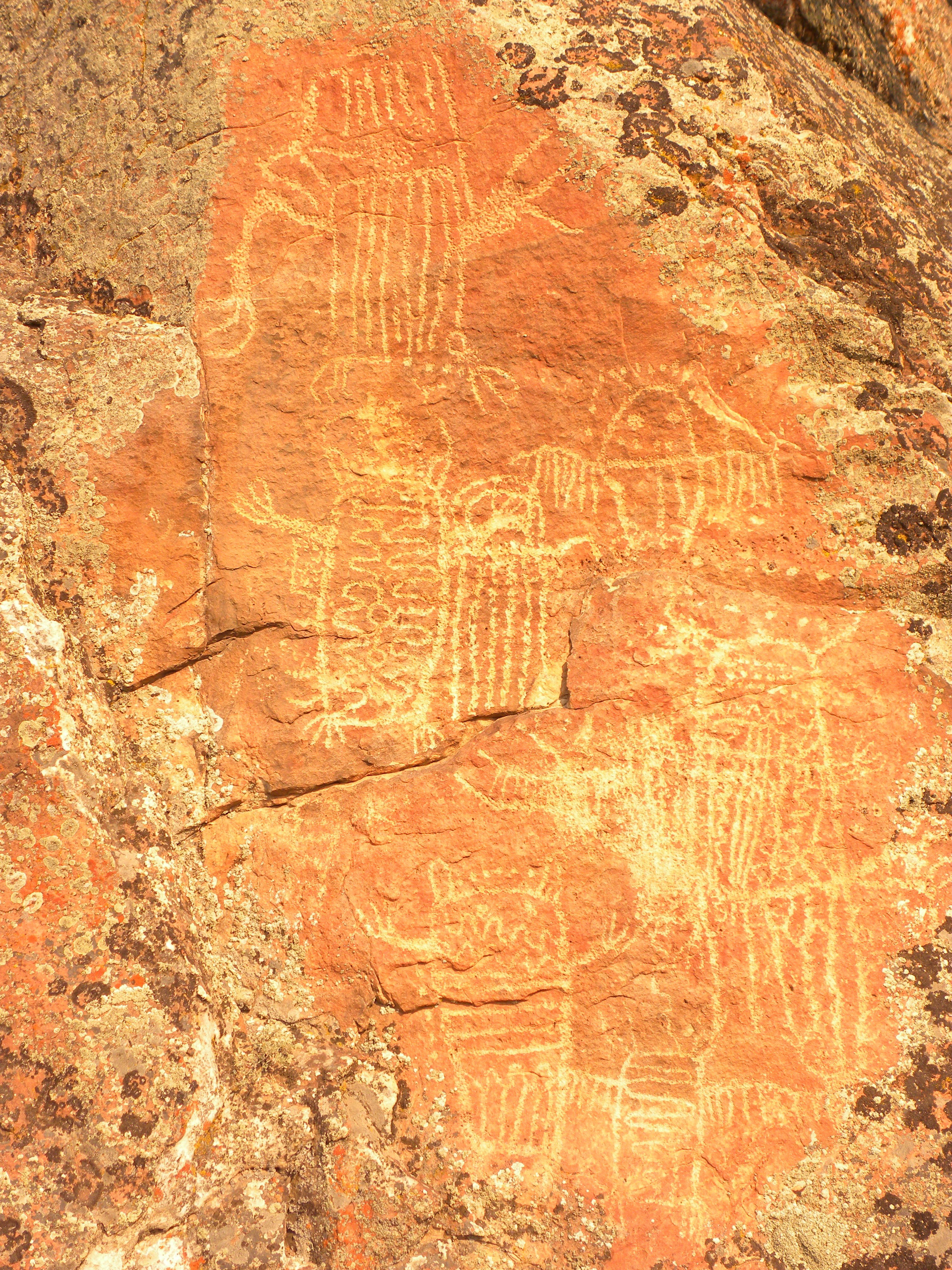
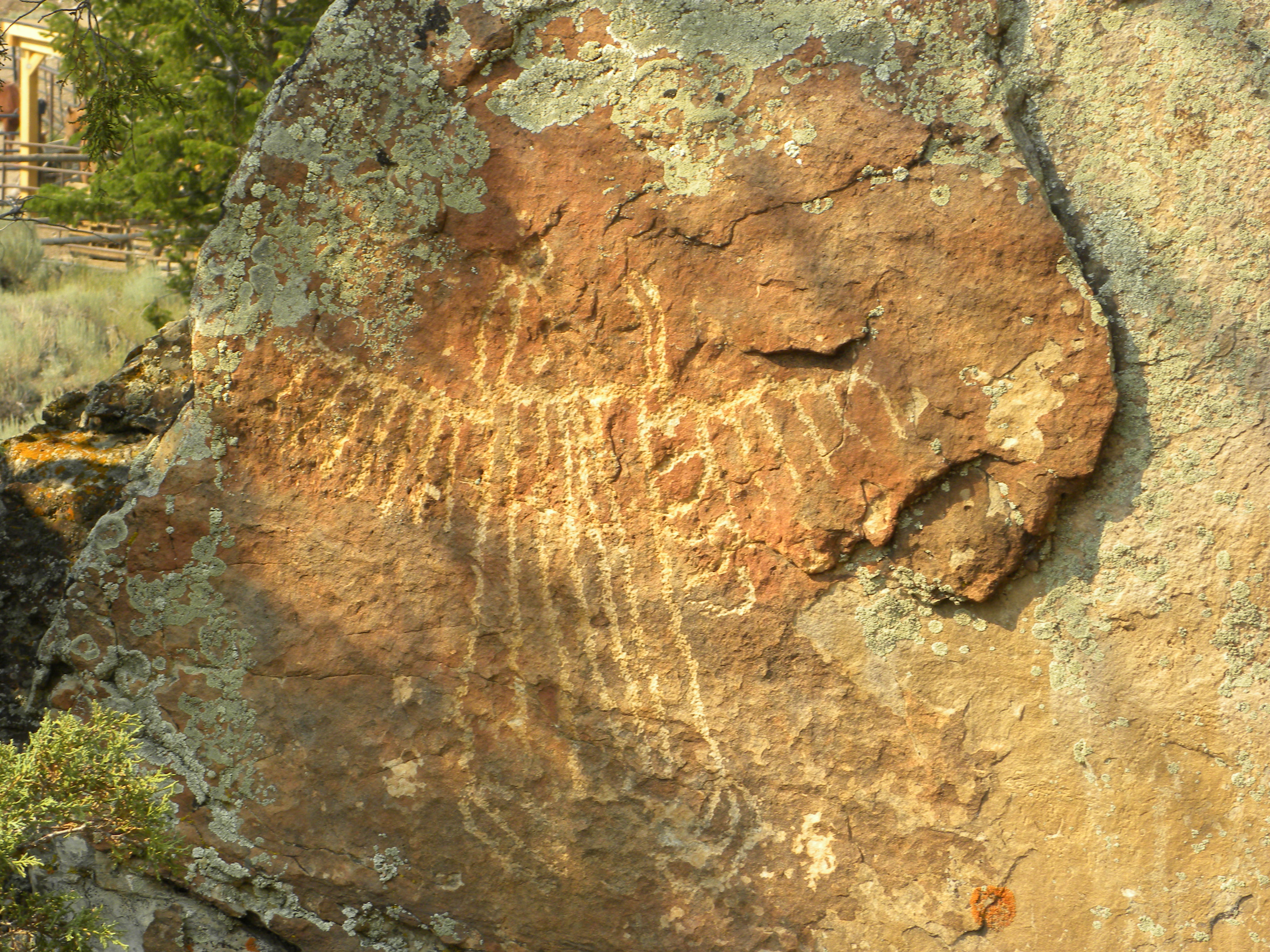
Fire is destroying the evidence of these ancient peoples.  There is a concerted effort going on to find and GPS as many of these sites as possible before they are destroyed.  Interestingly, although fire will destroy wood structures, it also clears duff and can expose artifacts buried below.  The Boulder Basin site is a perfect example.  It had been explored since the 1970’s.  Although sheep traps were evident, Archaeologists thought that the sites had been cleared and looted because little other cultural evidence was found.  After the fires, the site was re-visited and hundreds of projectile points, bone fragments, stone implements, and other important artifacts were uncovered, some simply scattered above the burned ground.

These are Americas’ Acropolis, our Pyramids.  They stir our imagination and resonant with the collective unconscious of humankind.  I see these old timbers and dream the dream of what it might have been like to be living here so long ago; to be dependent on one’s community and the earth; to be a wanderer, a hunter-gatherer; to be so intimate with the natural world.  These are important places, for us, for our children, for all mankind.

The Sheepeaters

One of the interns gave me a book of Robert Service poems.  Oh, how I like so many of them.  Here’s a few verses from one of my favorites called ‘The Spell of the Yukon”

The summer — no sweeter was ever;
The sunshiny woods all athrill;
The grayling aleap in the river,
The bighorn asleep on the hill.
The strong life that never knows harness;
The wilds where the caribou call;
The freshness, the freedom, the farness —
O God! how I’m stuck on it all.

The winter! the brightness that blinds you,
The white land locked tight as a drum,
The cold fear that follows and finds you,
The silence that bludgeons you dumb.
The snows that are older than history,
The woods where the weird shadows slant;
The stillness, the moonlight, the mystery,
I’ve bade ’em good-by — but I can’t.

There’s a land where the mountains are nameless,
And the rivers all run God knows where;
There are lives that are erring and aimless,
And deaths that just hang by a hair;
There are hardships that nobody reckons;
There are valleys unpeopled and still;
There’s a land — oh, it beckons and beckons,
And I want to go back — and I will

Its interesting how one can feel a place.  Up the dirt road towards Yellowstone, there’s an area that just feels good.  The wolves like to den there, the Bighorn sheep hang on the cliffs there, and the Sheepeaters had winter camp there for 5000 years.  Keep going farther up that road, about 20 miles, closer to Yellowstone, and the feeling changes.  Something about that area always feels ominous to me.  As the valley narrows, the Absarokas close in.  Volcanic in nature, the mountains tell the story of fire and ice with their knife edge ridges and slopes of scree.  I’m always a little uneasy up there.  Its beauty and wildness belie ancient and ominous secrets.  I’m wondering ‘What happened here?’

But my story is about the area that feels good.  Last summer I spent a long time looking for a ‘sheep trap’.  I’d been told about one that was a small cleft in the rock face.

W___ had told me there was a sheep trap up in the timber, yet everytime I looked I couldn’t find where he said it was at.

Sheeptraps were used by the Native Americans who lived around here.  A sub-group of the Shoshones, they were named Sheepeaters because their primary diet consisted of Bighorn Sheep.  They made the finest bows out of horn, used no horses, and went back and forth into the Park.  These sheeptraps were one of their ways of hunting.  Usually placed along a game trail and on the downhill slope (Sheep always see what’s coming from below, but never tend to look up for danger), the traps had drive lines of dead wood that lead to a pen.  Once in the corral, then animals were usually bludgeoned to death.

I spent many days looking for the trap.  My mistake really was to go on W___ ‘s advice.  There WAS a trap he knew about up there, but it wasn’t the natural rock formation one.  He’d only been there once, and since he didn’t know this area well (he’d gone with another person who did) his directions were weak.  One time I hiked way up the mountain through several meadows.  I was tired and it was getting late. Turned out I was only a few hundred yards from the trap in the woods.  But when W__ did take me there later on, I didn’t feel so badly, for I talked with several hunters who’d walked right by the trap and never saw it.

Partially buried sheep trap
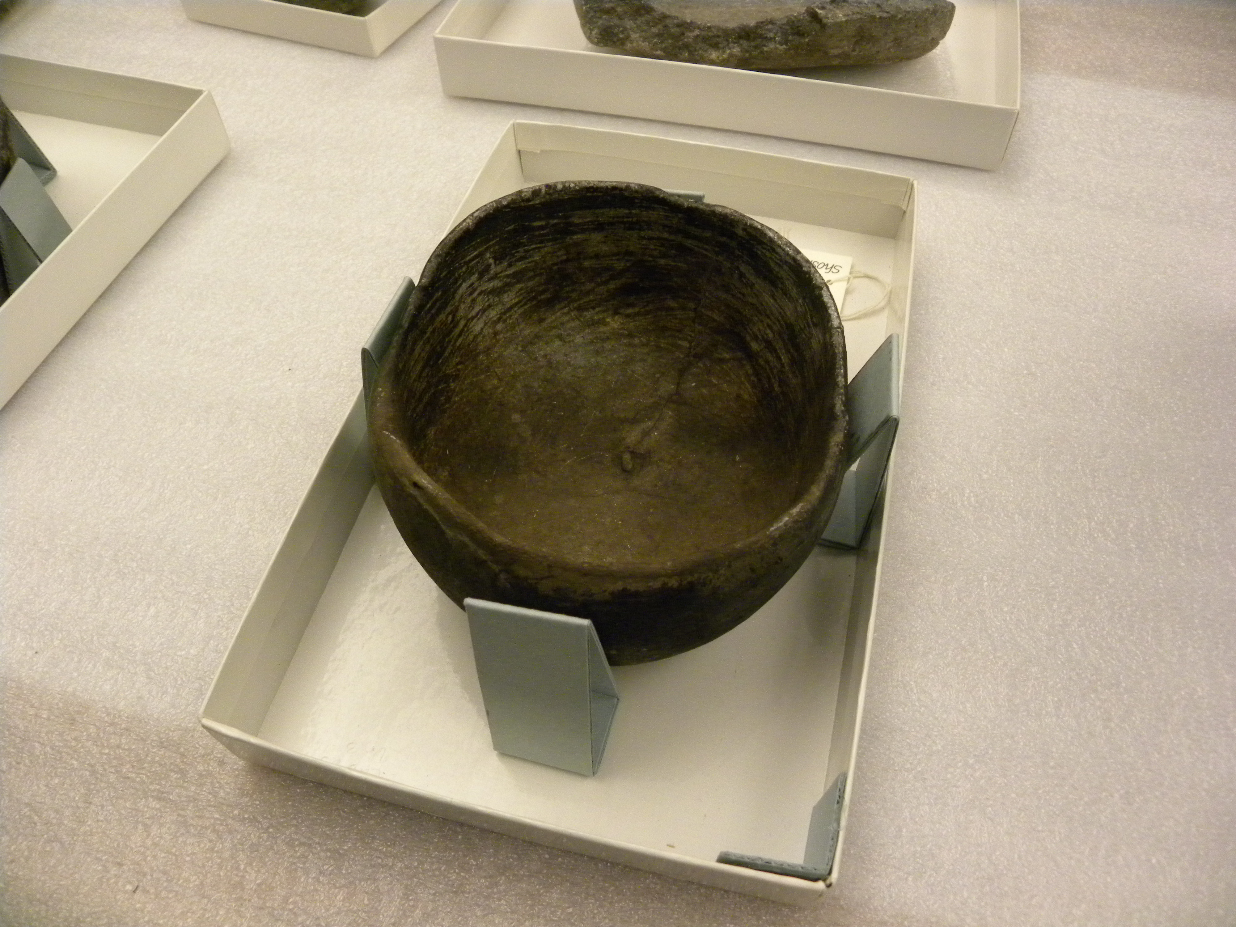
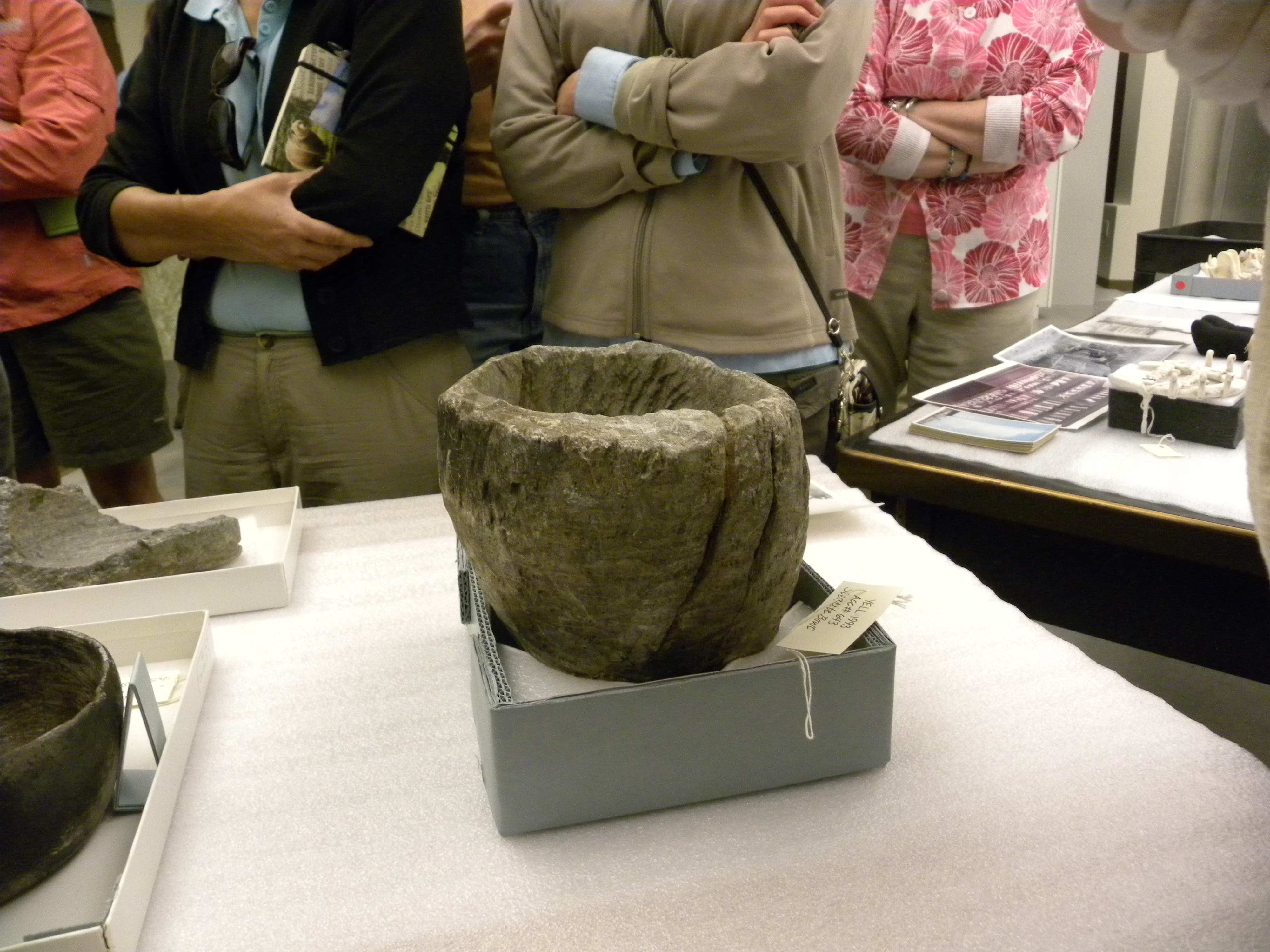
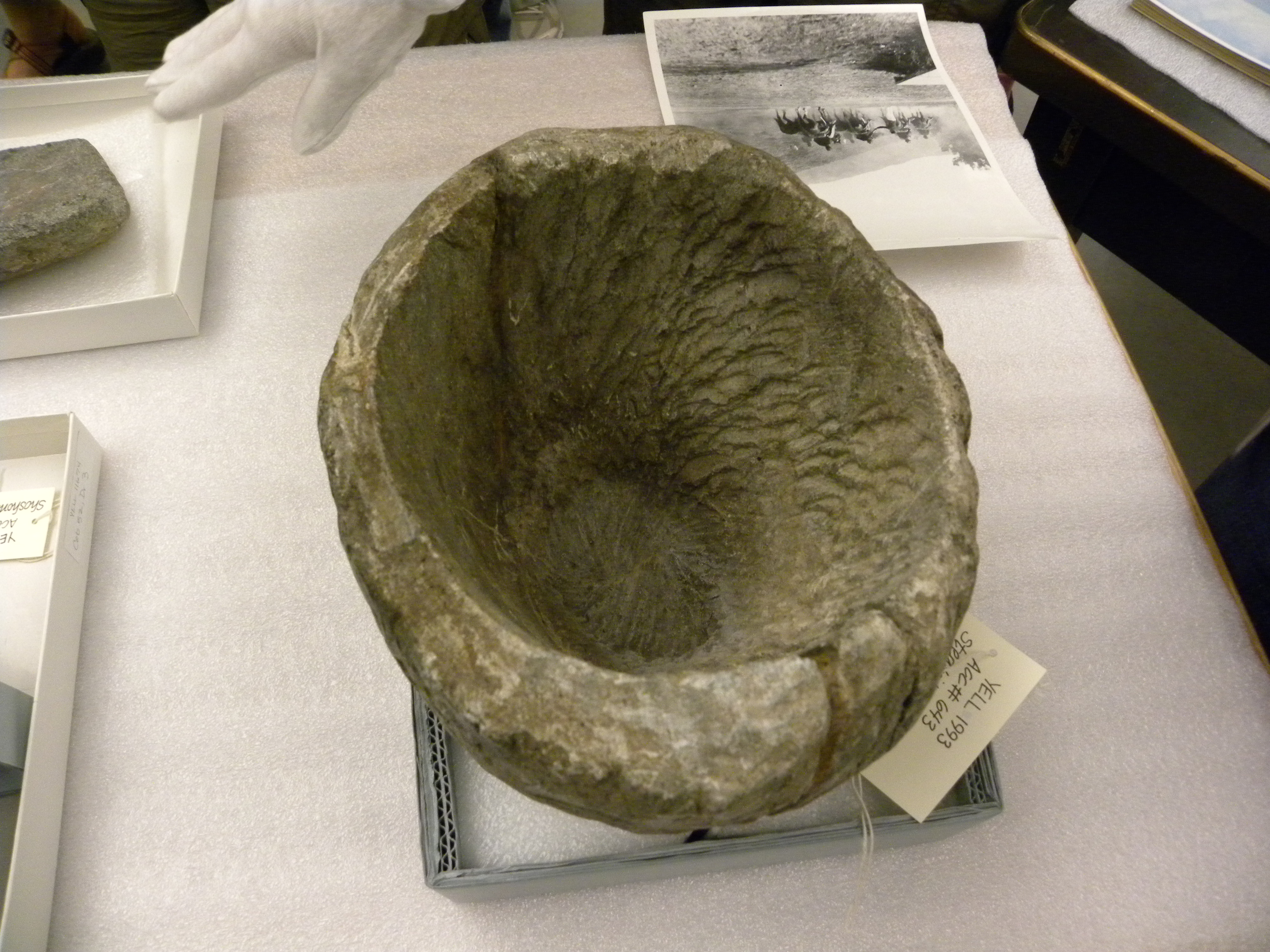
The wooden trap was awfully small, but when you looked closely, it was obvious that it was buried deep.  The wood was old and it was amazing the construction was still intact.

I knew that there must be another trap somewhere else.  I decided to walk along the cliffs farther down the meadows.

Fall was in full force and the days were short.  One afternoon I took a few hours and hiked up to the bottom of the cliffline.  I walked its edge.

The view was fabulous from up high and I stopped to investigate a natural arch.  There was nothing inside but packrat remnants.

Farther along the wall, I came to an extremely narrow notch in the wall.  Some unknown force drew me to climb up it to the landing above to investigate.  I hesitated.  The light was getting low, I was running out of time, and this seemed like just a curious sidetrack.  But I couldn’t resist.  I scrambled on all fours through some snow and debris up the cleftt to small flat area above.  Walking around on top of the rock, I noticed a second but larger cleft between two gigantic boulders.  The boulders narrowed sharply and a tree was growing at the base.  It was a curious natural formation.  A few pieces of wood and debris were inside.  I looked around but saw no evidence of any drive lines.

I climbed back down the notch and continued making my way along the wall.  In short order I came upon a dry creek bed and an old game trail that led to the landing up above.  It was then that it hit me–That cleft WAS the pen, just a natural one.  It was so obvious.  I raced back up the ravine as the sun was starting to set.  Sure enough, the game trail passed a few hundred feet above that cleft.Looking from above

And now I noticed random wood above the cleft, probably strewn around for the last hundred and fifty years, once used as the drive line.  The whole setup seemed so ingenious to me, with the minimal expenditure of energy.  The ancient game trail right there, the Sheepeaters waiting in the timber above, the natural pen below.  If you walked from the cliff line below, you’d never notice this pen because of the tree and a good amount of debris placed there to block the exit.

I sat down at the top of the rock and watched the setting sun.  I marveled at how by trusting a feeling I found this place.  And the moment of ‘Ah ha’ that came from the inside out.    It was getting cold now.  But I took a little time to sit and say ‘thank you’ to whatever bought me here.