During my twenty years living at 6500’+ in the Absarokas east of Yellowstone National Park, I’ve rarely seen evidence of skunks. Sure there are plenty of striped skunks in the Bighorn Basin which is at 5000′ with irrigated agricultural lands. I’ve been using trail cams since 2008. In all that time I captured one skunk in October 2012 near my property which consists of sparely covered limber pines on the grassy shelves with Douglas firs climbing along the mountainsides. I tracked that same skunk in fall snow. That was the extent of sightings or tracks and that was over fourteen years ago.
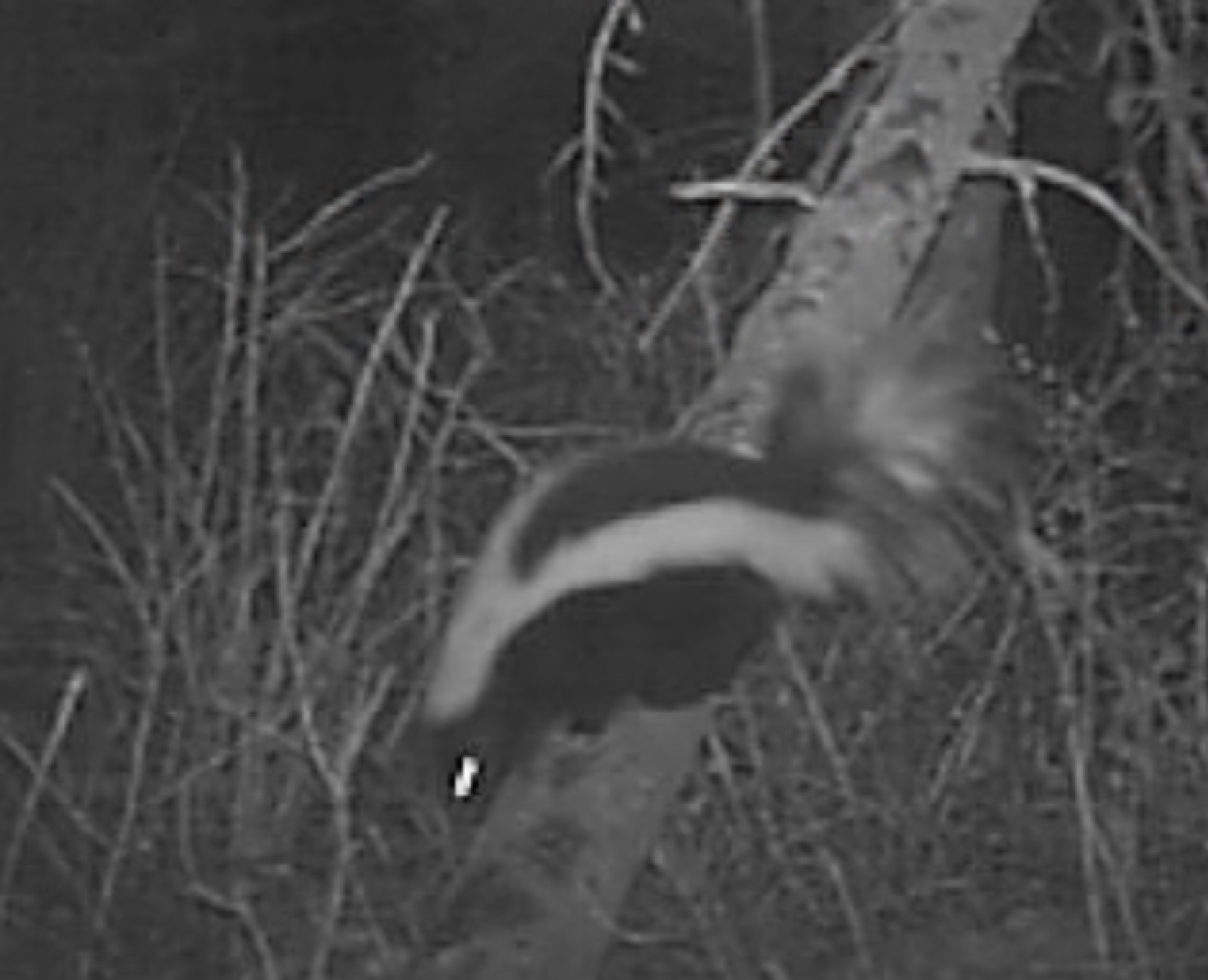
In 2023 and 2025 I captured a striped skunk on my cameras. They always surprise me when I get even one capture. My assumption had always been we are just too high (most of the valley is above 7500′. All three of these captures were at the front of the valley at around 6500-6800′ and open sagebrush/limber pine habitat. I just didn’t think they could survive our cold snowy winters.
But today I had an incident with a striped skunk (to be described in depth later) that made me read up a bit on skunks. Referencing Mammals in Wyoming by Clark and Stromberg, striped skunks, as I thought, prefer habitats characterized by mixed woodlands, brushy areas and open fields with broken wooded ravines and rocky outcrops. They are inactive during winter, living off of their stored body fats. They might remain in a den for up to 118 days and undergo mild “hibernation” called torpor, not a full reduction in body temperature and might come out to forage in winter. Plus up to 80% of all skunks don’t live to be a year old. What eats them? Owls (are a main predator as they have limited smell) badgers, coyotes, mountain lions, bears, bobcats and foxes.
Although Clark and Stromberg don’t give an altitude range limit, they are probably uncommon above 7000′. Yellowstone National Park notes there are uncommon sightings as most of the Park is 7000′ and above. Occasionally they are spotted around thermal areas like Mud Volcano or the Buffalo Ranch is which in Lamar Valley, a lower elevation (around 6400′). In Small Mammals of the Yellowstone Ecosystem author Donald Streubel also notes that raccoons in the Yellowstone Ecosystem is spotty “confined to river and creek bottoms that contain cottonwoods” and is Wyoming has rarely ever been recorded above 7200 feet.
The only time my dog has every had a skunk encounter (and he is good at seeking and finding small wildlife) was in an large meadow at 5500′ by a stream in July. He got sprayed really good. I thought maybe he’d learned his lesson, but having had experience with past dogs, seems like they never do.
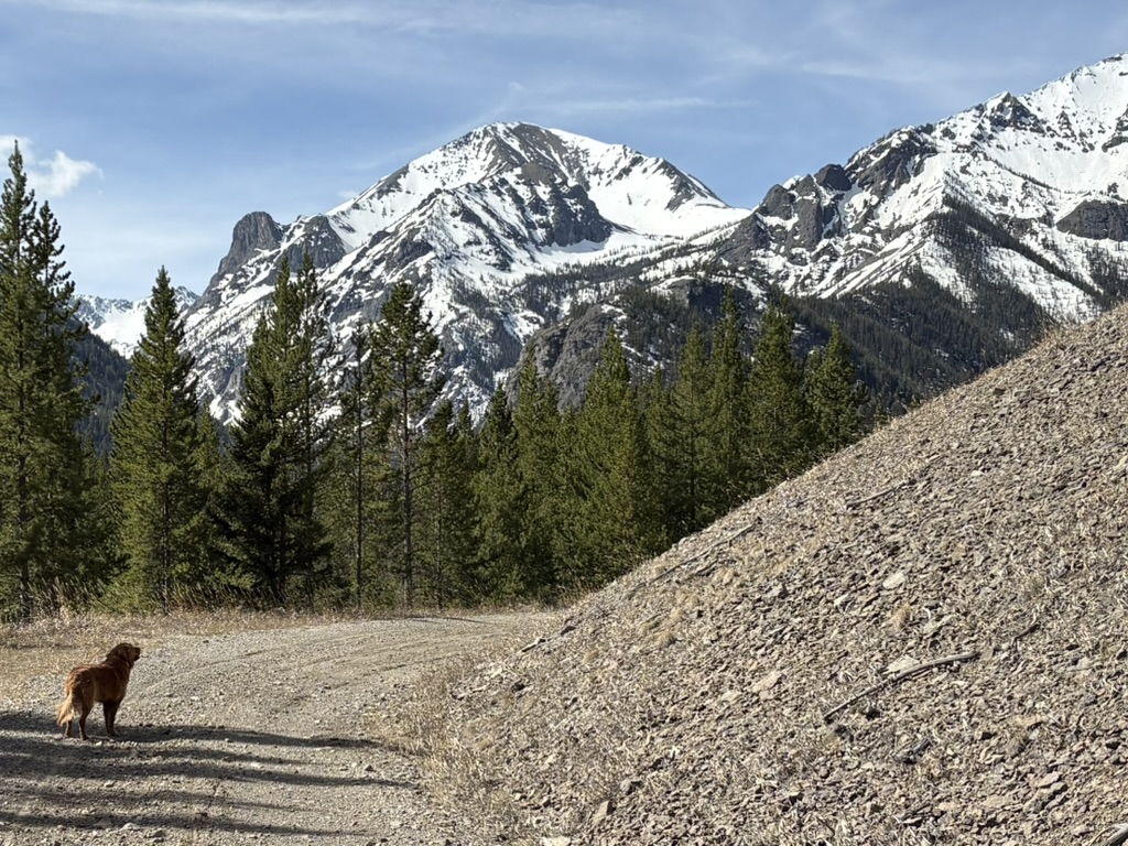
So today it was a surprise when Hintza did have an encounter with a skunk at around 7600′ though not what I would have expected. I like to hike in early spring in a small drainage that feeds into a large sagebrush meadow. The drainage is fed by a spring that runs this time of year from snowmelt. Working my way up the drainage, steep on both sides, there was no water, a result of one of the driest winters we’ve ever had in Wyoming. Hintza was sniffing vigorously under a large juniper shrub. I figured he had a bead on a vole or something similar. Then I saw him pull out a small carcass, about a foot long. I called him over and he came with it in his mouth. When I saw what it was, I yelled at him to drop it. It was a dead striped skunk, not decomposed at all, not predated upon. The animal had obviously simply curled up under cover of the brush, maybe even had a winter den underneath and died. Hintza had proudly pulled it out, ready to chomp down.
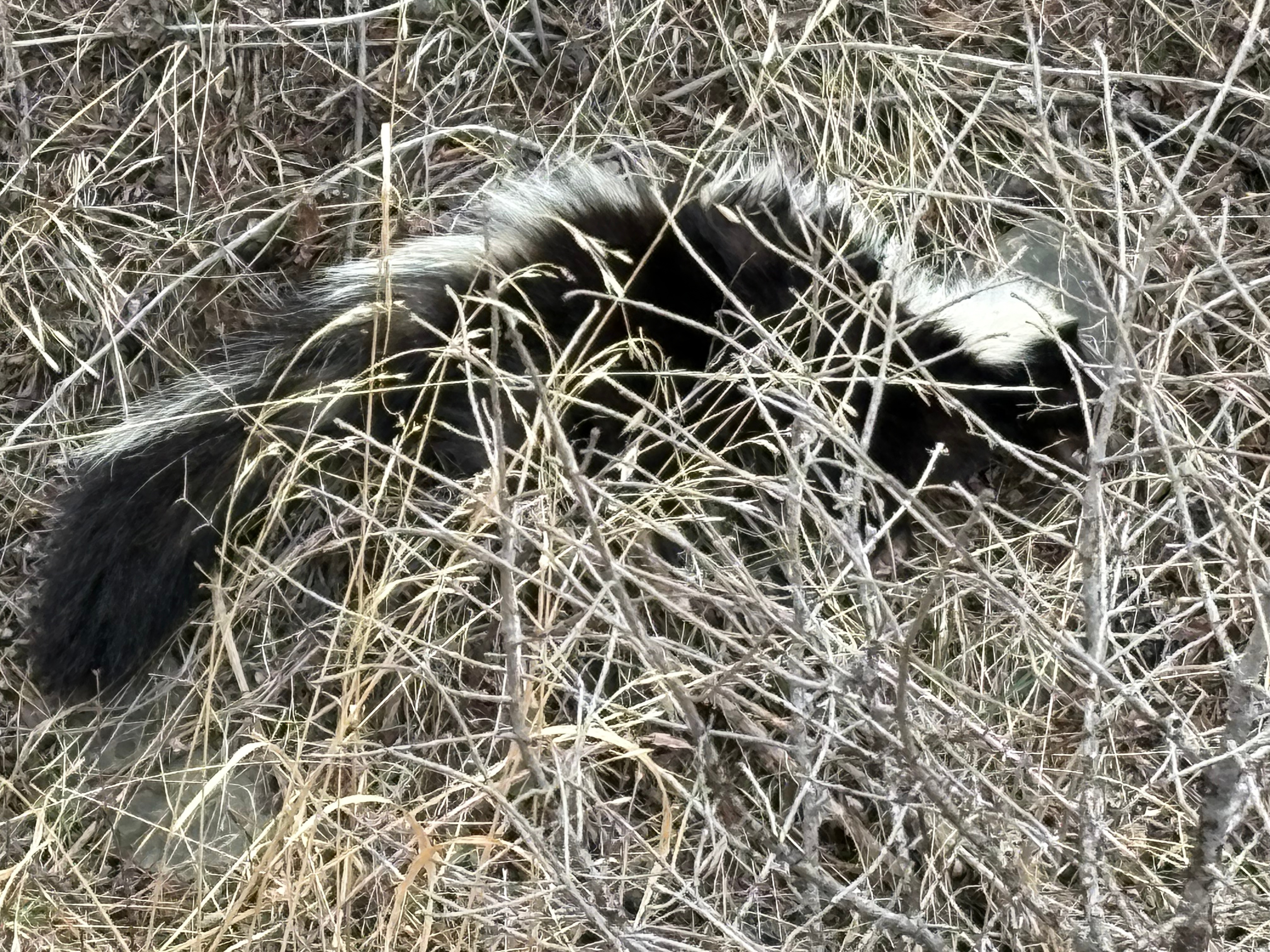
Horrified, I called him to me and the musk smell was permeating the air and the dog. I figured he had it on his face and chest just from contact because it couldn’t obviously spray him. I didn’t realize dead skunks still have that musk odor. Reading about it, apparently the death rattle and decomposition process causes the scent sacs to rupture, releasing a massive concentration of the scent.
I hiked with the dog to 2 other small nearby drainages, but now the odor, which was masked before, now permeated the entire valley. I’m betting that skunk had been in a shallow den. Once Hintza dug and carried him out, the whole odor that was contained now wafted everywhere.
Lastly, I have to wonder why I’m starting to see more skunks. In the last 5-7 years, our winters have dramatically warmed. Where it once never got above freezing for months, usually starting around Thanksgiving (just since I moved here 20 years ago. Before that my old time neighbor who grew up here, born 1926, told me the first snow is always by September 16), now the entire winter is about freezing and thawing. This last winter temperatures were persistently in the 40s and 50s.
We have to start thinking of the effects of a rapidly changing climate on wildlife. How reduced snowpack, drier winters, hotter summers will affect our ecosystem, their habitats, and what changes we can make that will help wildlife adapt. Perhaps our little common striped skunk is an indicator species.
Filed under: Mustelids, New ideas | Tagged: absarokas, Climate Change, Greater yellowstone ecosystem, nature, Skunks, Yellowstone National Park | Leave a comment »