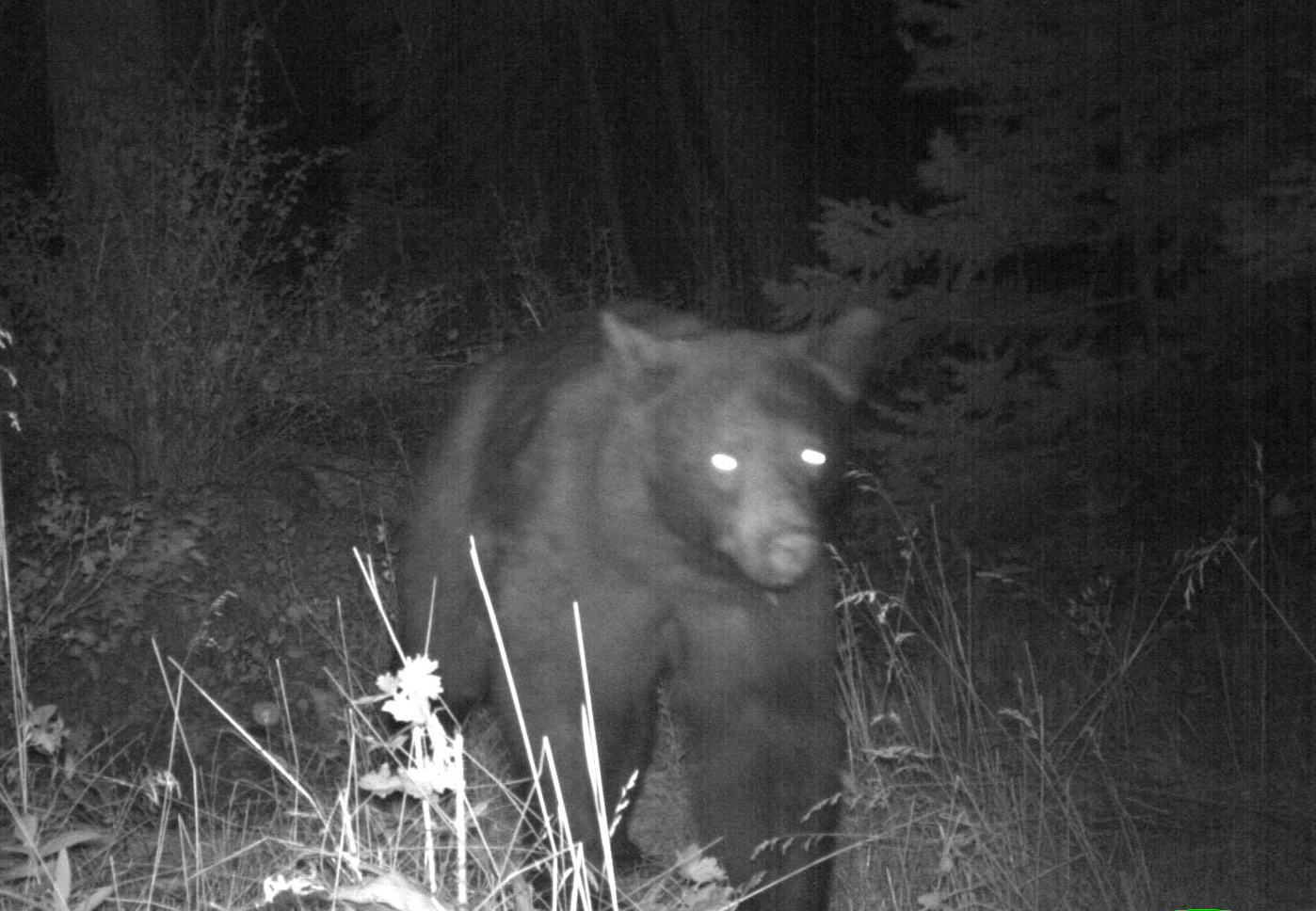
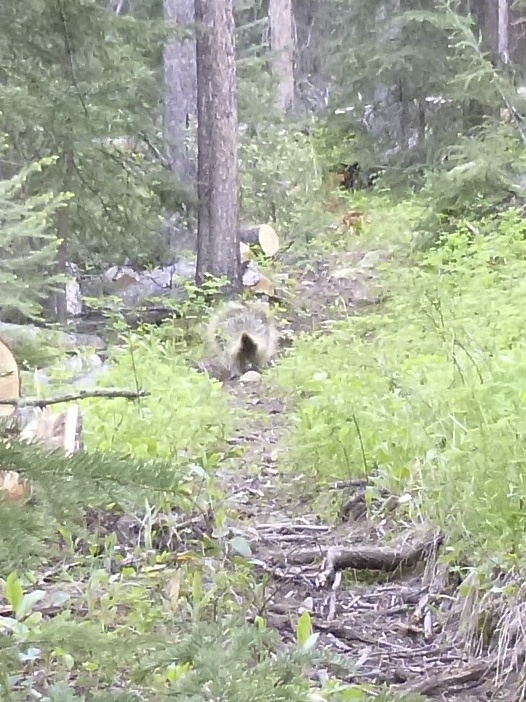
They usually go together–bears and wolves that is. They’ve adapted and lived with each other for thousands of years; more than we’ve been around. So it was no surprise when I saw some fairly fresh wolf tracks and then saw a nice looking grizzly bear scouting around for food before his winter slumber.
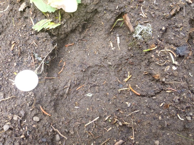
Wolf Print; Quarter for size at left

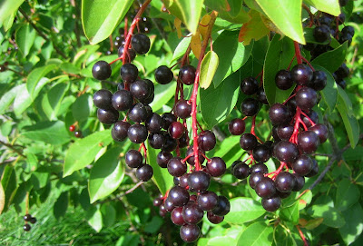
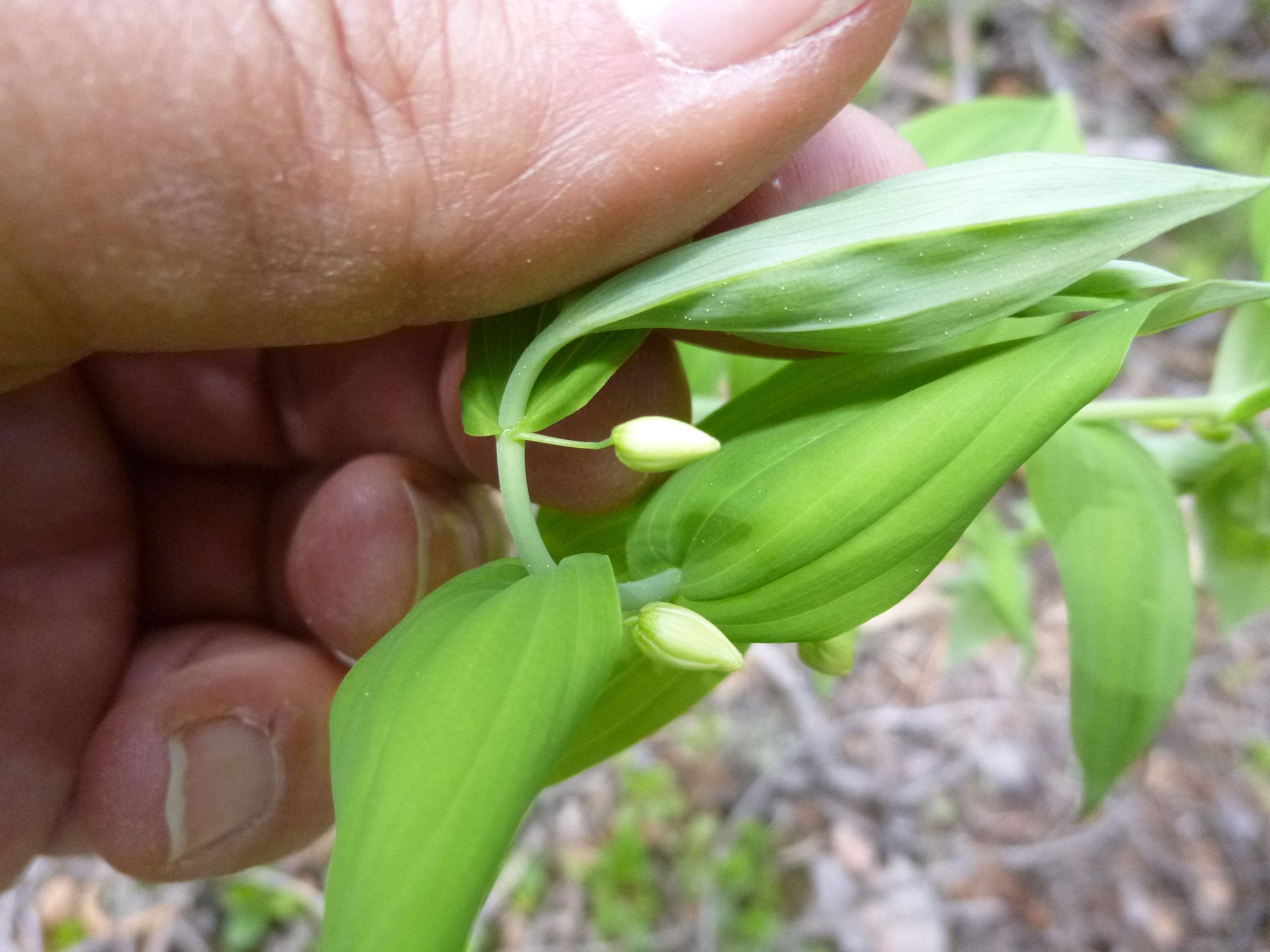
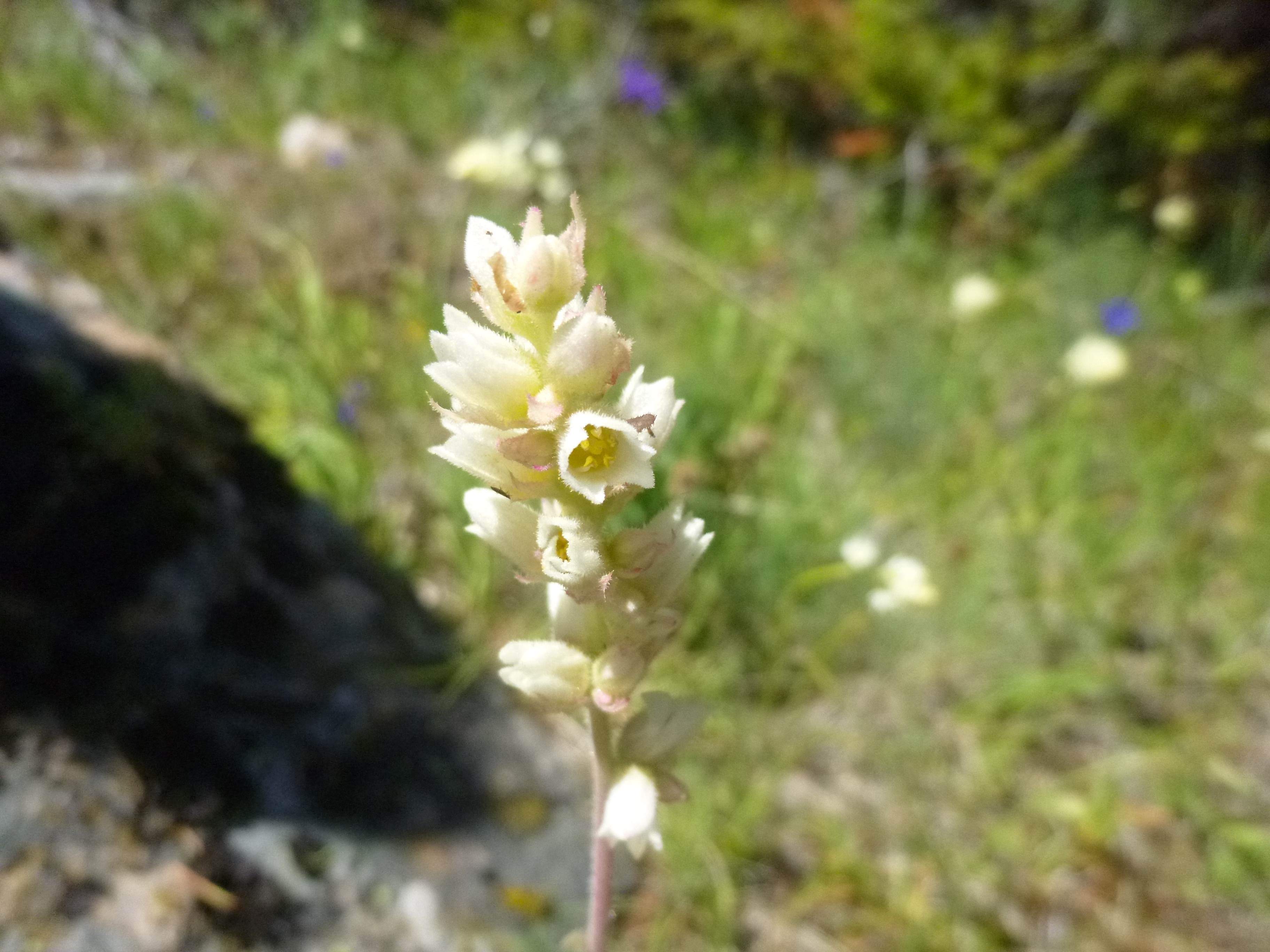
Symphoricarpos berries
They say this year’s White Bark Pine crop is down which drives grizzlies elevationally lower looking for food. Those lower elevations are where we, people that is, like to live. White Bark Pines grow around 9000 feet or higher. Their seeds, collected by squirrels and placed in middens, are robbed by bears and provide a lot of fat and nutrition, concentrated in a small seed. Bears are physiologically driven in the fall to put on weight for their long sleep, during which time they do not eat, drink, urinate or defecate till spring.
I went out yesterday in pursuit of a Sorbus bush to dig up–Mountain Ash. They provide good berry food for critters and I want some in my yard. Although I found no Sorbus, I did find a lot of bear scat, so I knew there was a bear in the neighborhood. Besides a lot of grass and rose hip seeds in the scat, what surprised me were Snowberries (Symphoricarpos albus). I’d always read that snowberries (named as such because they are pure white and usually white berries are poisonous) were poisonous and not edible. On the other hand, in general, 80% of a bear’s diet can be eaten by humans, except grass which we can’t digest. What I’d been finding in Grizzly and Black Bear scat is A LOT of snowberries, and they looked fairly intact, as if they went through whole and didn’t provide much of anything nutritionally.

Grizzly bear
Snowberries are a member of the Honeysuckle family, along with another familiar berry–Elderberries. Their berries contain saponins which is widely found in plants and is a glucoside poison: it destroys the membranes of red blood cells and releases the hemoglobin. Fortunately, saponin is not easily absorbed by the digestive system, and most of what we eat passes straight through the body. So plants like beans, spinach, and tomatoes that contain saponin are rendered harmless to us. Saponins stimulate the digestion and clean out the intestine. They facilitate the body’s use of certain substances like calcium and silicon. And they forth or whip up into a white foam that can be used as a soap. They also can be used (illegally though) as a fish poison because fish assimilate saponin into the blood stream directly through their gills, but won’t harm the fisherman who eats them. Plant books say snowberries are poisonous, causing vomiting and diarrhea. Yet here are some Native American uses:
Common snowberry fruit was eaten fresh but was not favored by Native Americans in Washington and Oregon. The fruits were also dried for winter use. Common snowberry was used on hair as soap, and the fruits and leaves mashed and applied to cuts or skin sores as a poultice and to soothe sore, runny eyes. Tea from the bark was used as a remedy for tuberculosis and sexually transmitted diseases. A brew made from the entire plant was used as a physic tonic. Arrowshafts and pipestems were made from the stems
And one more thing: Snowberries make a great garden plant addition.
Filed under: Grizzlies | Tagged: Grizzly bears, Snowberries, Symphoricarpos | Leave a comment »